Saturday, 14 March 2015

Prima gita sci alpinistica in solitaria...al Selun (ancora una volta)!

Nonostante sia la terza volta in cima a questa facile vetta, questa gita ha per me un suo fascino in quanto è la prima gita in pelli in solitaria. E questa è stata anche la prima gita della mia carriera sci alpinistica...nel lontano 2012. Quella volta pero' ero talmente scarso da non essere riuscito a sopravvivere ad una sola curva senza cadere...ora le cose sono diverse!

Forse si potrebbe anche dire che non è proprio sci alpinismo ma sci escursionismo...ma vabbè...

Si parte come al solito presto, arrivando a Starkenbach (punto di partenza) alle 8:30. Nonostante la vicinanza del posto, per lo meno in linea d'aria, ci vogliono due ore e mezza di treno e bus per arrivare. Alla partenza intravedo già altri sci alpinisti e nel frattempo il sole fa capolino da dietro gli alberi.


Poco dopo la partenza

L'inizio della salita prima dell'ingresso nel bosco è bello che ghiacciato. Ci sono tracce di discesa praticamente ovunque ma per fortuna le tracce di salita ci sono ancora a rendere le cose un po' piu' facili. Devo ammettere che preferisco di gran lunga far traccia nella farina affondando fin quasi alle ginocchia che non dover combattere contro la gravità e imminenti scivolate laterali poggiando gli sci su millimetri di neve durissima. E nel bosco la traccia è ancora piu' ghiacciata...ma almeno qui il sentiero non è per niente ripido e si procede con tranquillità.

Dopo aver percorso questo sentiero nel bosco per ben due volte ricordo quasi tutte le curve...ma tanto so che questa volta non scendero' dalla stessa strada...anche perchè a giudicare dalle condizioni del sentiero non sarebbe poi questo gran divertimento. Dopo meno tempo del previsto esco dal bosco a rivedere il sole e quello che sembra uno scivolo di neve quasi infinito che porta fino in cima al Selun. Fin da qui giu' si vedono le centinaia di tracce di discesa quasi letteralmente scolpite nella neve. Probabilmente la maggior parte fatte dopo le ultime nevicate di oltre una settimana fa e poi congelate li'.


Ancora nel bosco ma quasi al sole


Ed eccolo li' il mio obiettivo

Da questo momento in poi si entra "in the zone" e prendo un ritmo che raramente ho avuto in precendenti gite sci alpinistiche con amici. Non vado proprio di corsa ma comunque abbastanza veloce. Infatti supero tutti quelli che erano partiti prima di me. Ora sono da solo e non devo aspettare nessuno. Questa cima l'ho già vista in condizioni meteo anche migliori quindi non c'è niente di nuovo. Percio', dedicare questa ultima oretta della gita ad un po' di sano endurance training penso sia una buona idea.
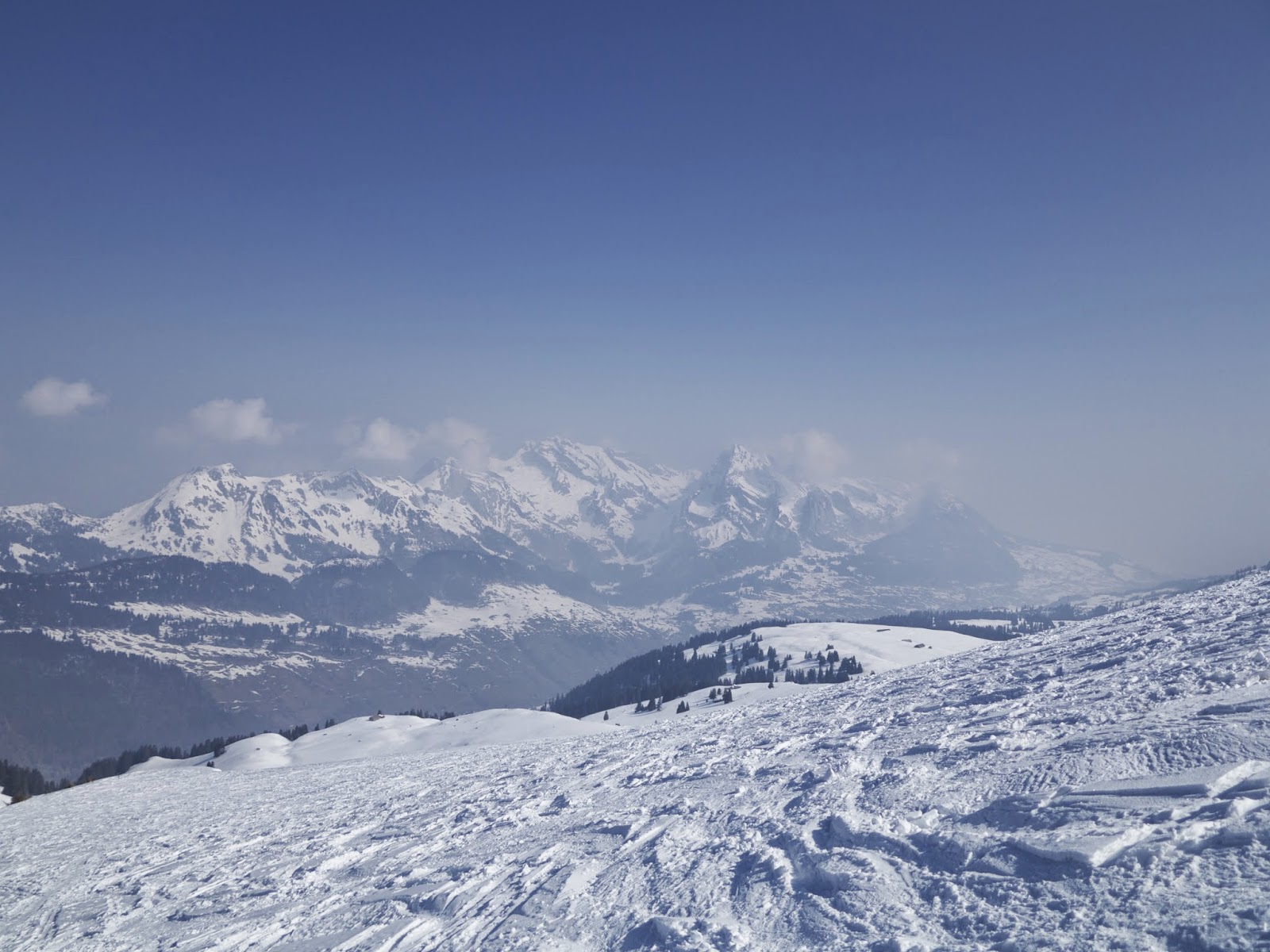
E cosi' in poco tempo e in poco meno di due ore e mezza dalla partenza arrivo in cima. Nell'aria c'è un po' di foschia che non fa apprezzare a pieno il panorama...ma alla fine non rimango poi tanto tempo in cima. Ho una festa di addio a cui andare stasera e voglio essere sicuro di non fare tardi.


Altri sci alpinisti in salita

In cima, 1

Gli altri Churfirsten visti dalla cima

In cima, 2

Mangio qualcosa tolgo le pelli e mi metto in assetto da discesa...e solo ora mi rendo conto che sono da solo, che non c'è nessuno con cui lamentarsi della pessima qualità della neve e che non c'è nessuno (per fortuna) che mi deve aspettare vista la mia abbastanza scarsa tecnica di discesa. Ma con mia gran sorpresa mi rendo conto che la discesa va molto meglio del previsto e anzi mi diverto pure! Per rendere poi le cose un po' piu' interessanti appena prima di rientrare nel bosco cerco un punto di discesa verso destra, in direzione della via di salita al Brisi. Seguendo le tracce di altri sciatori mi imbatto in un pendio abbastanza ripido ma con una neve che è praticamente perfetta. Bagnata al punto giusto da rendere ogni curva un piacere quasi come se fosse polvere!


Che spasso questa neve

E si ri-pella...

Ora pero' mi tocca rimettere su le pelli per una mezzoretta circa finchè non traverso fino a incontrare la via di salita (e di discesa) dal Brisi. Qui tolgo nuovamente le pelli e dopo aver attraversato anche una pista da sci di fondo mostrando la mia egregia tecnica di pattinata con sci, discendo nel bosco fino a valle. Il tratto su sentiero è molto piu' corto di quello che ho fatto in salita e la maggior parte è si tra gli alberi ma molto distanziati gli uni dagli altri. Qui la neve pero' è davvero terribile. Tutta tracciata e dura come il ghiaccio. Tutti quelli che vedo scendere, anche chi sembra un provetto sciatore...non sembra poi divertirsi. Vabbè, sicuramente è buona pratica per la sci alpinismo primaverile! 


Qui mi sono anche dovuto togliere gli sci...

Ultimo tratto di discesa fino alla strada di valle

Allo scoccare preciso delle 5 ore dalla partenza sono a valle riuscendo a sciare fino alla fermata del bus. Una bella gita in solitaria...pericoli oggettivi oltre che andare a sbattere contro un albero erano praticamente inesistenti...e le valanghe non sarebbero venute giu' nemmeno con le bombe a mano!

Saturday, 7 March 2015

Ski tour up to Glattwang, by fair means and by an even better descent

The weather during the week has been not very good, but in terms of new snow there was up to half a meter in some regions. And with the sun shining the whole day on Saturday how could you expect anyone to stay at home? Unfortunately the avalanche risk is rather high and a safe route has to be chosen. Also, being quite warm, we need to try and find something that is constantly north facing to hope and get some good snow. Looking around on skitourenguru we come across the Glattwang, starting from Jenaz. 1700m in total of ascent, never steeper than 30° and always facing north...perfect!

From the train station is a bit misleading to follow the signs to Glattwang, since that is the summer route. Much better instead is to aim straight out of town above Garaia and then to cut through the woods, on the footpath, direction Prafieb. From here onwards the route basically follows all the little barns and houses along the gaps in the trees, without having to actually go through the forest.


Looking at the south side

In the morning the impression was that it would have been an icy ski down, but instead we realize that there is a quite good amount of fresh snow, and it gets better and better the more we go higher. We get up to Obersäss and here it finally starts to be a little bit more fresh...yes because up to now it was rather hot! Not that we were complaining about that, since it was an almost perfect day...but we could have thought about that and put the light thermal underwear on!

That sun is shining!

Perfection...

On the final part to the beginning of the ridge the view start to open all around the summits of this part of Graubünden...even though I have to admit I don't know this region very well and is hard to recognise any summit, except for the one above the ski resort of Klosters. Once we finally reach the ridge we immediately see an higher summit just beyond what we thought was the summit! Looking at the map it seems that the ski tour summit should be the one we stand on, but the "real" Glattwang is standing right in front of us, further along the ridge...almost looking down on us. 

That is the real summit...so why are we still here??

Well, we came so far, let's go a bit further! In a few minutes we are at the ski depot under the last narrow part of the ridge and we walk up the last few meters until the cross with the name Glattwang on it. This time we are on the real summit! And guess what, there is even a sign post on the summit. Seriously?? 
At the beginning we thought we were completely alone for the day, but now we see other people going up. Even though those lazy guys have skinned up only from Berghaus Arflina, which is at the bottom of the valley just below us. There is a small ski resort there, and I promise to myself that I will remember about this ski resort in the future...looks quite good for off pisting. So not only those guys walked up a fourth of what we did, but they even don't get up to the real summit and stop on the pre-summit which we just crossed. Anyway, everyone is different and it's good that way!
Anyway, that's why I said this ski tour was by fair means...because we climbed up from the lowest possible point in the valley :)

Further along the ridge

One of the lifts and a couple of runs of the ski resort


Yes...that is a sign post on the summit! Only in Switzerland...


After some photos and some food we take the skins finally off after 4 hours of constant ascent and start skiing down. At the beginning the ridge is a bit icy and very wind blown...but that is quite typical on a ridge to be honest. Then we start enjoying one of the best snow I can remember this season. Really soft and easy to turn. Even lower down across the gaps in the woods is not that bad, but it's easy to feel that the amount of fresh snow is slowly decreasing and the skis are more and more in contact with the hard bottom layer. Until the final gap in the woods where even snowplowing is tough and afterwards the snow is so wet that is like have the handbrake on! 

The last hundred (or a bit more) meters...skiing down into spring

In 1h 30m we get back down to the train station, in what feels like the end of May! Perfect time for an ice cream!

Wednesday, 11 February 2015

How to plan a mountaineering/ski-mountaineering trip in Switzerland

With this post I don't want to explain the theory of how to plan a trip to the mountains, but to show all the available tools that are available in Switzerland for this purpose. When I first moved to this country I was impressed by the fact that very detailed and high quality maps could be printed off from the internet...and with time I've discovered more tools that can really be quite useful.

First of all...the weather forecast!

You probably are already aware of all the websites that can be used to provide weather forecasts, but still I wanted to give here my personal view on those after more than 4 years of intensive usage.

  • Meteoschweizhttp://www.meteoschweiz.admin.ch/. They have recently changed this website and I'm still going through all the new features available on it. Nevertheless this is the official swiss meteo website and it's quite reliable. In my opinion the forecasts from it are a little bit conservative...This means that if there is a one single drop of rain falling in the whole day, they will probably write that it will rain a little bit. Also, the forecast details are only available distinguished between morning (6-12), afternoon (12-18) and night (18-24)....not hour by hour like other website. But believe me this is most likely as accurate as your forecast can get. What you should read on this website is the text description (for the part of the country you are interested in) and that's it. It's already quite difficult to have good weather forecasts. If you then expect to have them accurate down to the single hour you are probably asking the poor weather scientist to use his/her crystal ball.
  • Mountain forecasthttp://www.mountain-forecast.com/. This website has forecast, which they claim are accurate, for tons of mountains all over the world and at different height for each of them. Personally I don't really trust this one too much for the weather itself, but I find it OK to know the temperature, wind, wind chill and so on.
  • Meteocentralehttp://www.meteocentrale.ch/. According to a famous swiss glaciologist and meteorologist this is probably the best website in Switzerland. I find it quite reliable even though I don't really like the fact that they try to give the forecast hour by hour...how can you be so accurate??
  • Meteobluehttps://www.meteoblue.com/. That's one of those website that looks cool...and that's all really. Weather forecast are coming from complicated CFD like calculations and there are only a few calculation models constantly running all over the world. Some websites like Meteoschweiz have scientist or very experienced people sitting in front of a computer looking at the results of the calculation models, interpreting them and adjusting the results if and when needed. Other like this one, meteoblue, take the results one to one from the calculation models without spending much time in thinking if they make sense or not. So for sure you can get a forecast in each and every point of planet earth, and at any time of the day...but if any of you reading this has ever been working with CFD of finite element will perfectly understand what I mean. You can't take results out of a calculation without some interpretation. I'm not saying they are always wrong...but in my experience they are not the most accurate.
My approach in general is to look at all 4 websites and make some sort of average of what the weather is going to be. If all say the same thing then the chances are pretty high they will all be correct. If instead they all have different forecasts...then it means the weather is most likely very uncertain and at that point it's up to you. My advise is to always go in any case, except when the forecast is really bad. If it's uncertain go there anyway and only once you are there and looking up the sky you decide whether it's really according to the forecast or not. Weather forecast is only a forecast afterall...and weather in the Alps can change very locally.

Something for your orientation skills...maps!

When I first realized how much free material is actually available over the internet I was literally amazed. In Switzerland you can buy some of the best maps I've ever seen...but the best thing is that you can find the same quality maps available for free on the internet. There are a couple of websites for this, one application for your smartphone and a computer program that you can buy.

  • Map Geohttp://map.geo.admin.ch/. This is probably the best website you can find for maps. Other than very detailed maps (same quality as the one you would buy, except from the paper on which you print them...) there are tons of other information about things from geology to communication. One of the most important thing you can find here is the possibility of overlaying on the maps the contours of the slopes steeper than 30°. In particular they will be highlighted in different colours if the angle is between 30° and 35°, or between 35° and 40° or beyond 40°. This is extremely useful when planning skitouring trips in winter. To have these contours available just go to -> Base Information and Planning -> Elevantion -> Slopes over 30°. Naturally, there is the option to print the map in different formats.
  • Wanderlandhttp://map.wanderland.ch/. Quite similar to the one above, the main difference being that you can't have the overlay of the slopes steeper than 30°. On the other hand though you can have lots of other things such as all the bus and train stops, official footpaths (even though if you are a mountaineer this might not be that interesting...) biking routes and so much more. Also here is possible to print the maps
  • Swiss Map Mobile. This is a very useful application for your smartphone. The thing is you need to pay a yearly fee to get access to all the maps, but it's around 40CHF a year so not really that much. The good thing is that with this app you get on your phone all the maps of Switzerland, and you can also locate your GPS position on it if you want. Also, if you have previously uploaded a GPS track on the app, you can easily follow that. I still prefer the old approach of map and compass, but in a white out on a glacier this kind of things can be very tricky to use. One thing to mention maybe is that the app does not come with all the maps already available. You have to download them. The best way to do it is to download the maps at home (possibly with a WiFi) before leaving. Maximum possible to be downloaded is an area of 10x10 Km. Alternatively, whenever you open the app the region of the map you are interested in will be downloaded. You can find more information here http://www.swisstopo.admin.ch/internet/swisstopo/en/home/products/maps/mobile.html

I said that there was also a computer program that you could use. This is called Swiss Map Online. To be honest you don't really need this one. The one and only advantage is that you can have all the skitouring routes already overlayed on the map, but if you keep reading this post you will see that there is another way of getting them...even though not for all of them.

Something for the winter

Here there are a couple of things which are useful mainly (if not only) for winter. 


  • SLFhttp://www.slf.ch/index_EN. This is an extremely important website. It contains the avalanche bulletins for the whole Switzerland, updated (of course only in winter and early spring) on a daily basis. The avalanche bulletin is the main information that you will find here but there are lots of other things. For example maps with the snow heights, avalanche accidents reports, some general information on avalanches and so on.
  • Ski touren guru: http://www.skitourenguru.ch/ Now...this is the one. When I found out about this website I literally could not believe at the amount of information contained into it. Basically it's a collection of ski touring routes for a great part of Switzerland.  Unfortunately not all of them are available, but apparently they will be. The routes can be ordered for height at the start, height at the top, altitude gain and so on. Then...and this is cherry on the cake...you can have an overlay of each routes on the official Map Geo website with the route highlighted in green, yellow or red according to the 3X3 risk matrix! Also, for each route you will find information on the public transport, height profile, snow height and so on. Things like the snow height and the risk level are interpolated with an algorithm from the data available from SLF. Sometimes the interpolation yields weird results, but hey...you really can't ask for more. For me is the perfect tool to plan a ski tour, or a snowshoe tour if you prefer. 

Conditions on the mountains

Now that you have so many information on your next tour you might be asking: "but where do I find infos about the conditions on the mountains?". This is not a necessarily easy question, but the fact that nowadays there are so many people going to the mountains can be helpful in those cases. There are many websites that contain those sorts of information, and here I present the two ones that I use the most.


  • Hikrhttp://www.hikr.org/. Here people upload reports of their hiking/mountaineering/climbing trips, often with pictures. Some reports are very well written and give actually lots of inputs, others not as well...but you can always look at the pictures to get an idea about the conditions. It's written mostly in German, but sometimes the reports are also in italian and in english. 
  • Gipfelbuchhttp://gipfelbuch.ch/gipfelbuch/verhaeltnisse. This website is much more focused on reporting conditions on the various routes. Typically there are a few pictures for the purpose but also a description. However, if you are looking for a technical description of the route you won't most likely find it her


 Routes and ideas

The last thing you might need is to have ideas on new routes to tackle. The two websites that I mentioned just above are normally very good for the purpose, but the good old Google is very helpful in this respect as well. Probably though the best source of information are the guide books that you can buy in the book shops or in the outdoor shops, which are dedicated to routes description. One thing that I think is missing in Switzerland is a collection of winter routes. I don't mean ice climbing routes, but really goulottes, north faces, mixed routes and the like. Once again however the good old Google knows everything, so why not try asking...
In terms of books the classical ones are the official guide books from the SAC (Schweizer Alpin Club) which are differentiated in mountaineering, ski touring, snow shoeing, hiking...In those books there will be descriptions of the routes, sometimes using far too many words (such as the description of the Matterhorn), sometimes even a few pictures  which are most of the times not very detailed. Another set of books which I have recently discovered are the ones from Topo Verlag. They do contain much less routes of the SAC guide books but they are normally focused on the more classical ones, and probably the nicest ones. The main advantage though is that for almost each route you have a map with the route drawn on it and also a topo, which can be way more helpful than 1000 words. Not always though...sometimes a good description is also very helpful. So is probably better to look at both books and then take the best out of them.


Conclusions

I think now you should have all the information you need to plan your next trip to the mountains. Sure there are other websites with some additional route information of similar things, but as I said those are the main ones. Even all the information in the world are not going to make your alpine climb totally safe, so be careful! Mountains are dangerous, and apparently so they have to be! 

I hope that you find all this helpful and don't hesitate in replying back with some other websites with other cool features such as Skitourenguru, or where useful information can be found. Happy climbing!


Sunday, 25 January 2015

With skis above and below the fog of Safiental

On the official SAC magazine "Die Alpen" there is one report about a nice skitouring destination, the Safiental. Apparently not far on a straight line but quite isolated from the "rest of the world"...even though in the centre of Switzerland. Despite the fact that the forecast is not looking absolutely wonderful we decide to book for one night in Turrahus, the mountain hut/restaurant at the bottom end of the valley, and spend there the entire weekend.

Getting there is already an experience. Until the beginning of the valley with the motorway is quite fast, but afterwards it takes more than 40 minutes to get to the end of it...and the welcome is not that great because as soon as we arrive there it's quite cold and rather cloudy. Still it is possible to see at a reasonable distance so we decide to start a skitour up to the Piz Tomül, starting just in front of Turrahus. There are tracks all the way up and is therefore never difficult to find the way...but the more we go up the more we seem to be swallowed  by the fog and visibility becomes increasingly worse...


That's the end of the tunnel
That bright jacket is good in the fog!
At the end of the fog

Sun cream time!

...nevertheless there is a growing feeling of "light at the end of the tunnel". And in fact all of a sudden we are just above the clouds and under a perfectly blue sky! Views are just wonderful and I spend good 10 minutes just admiring the surrounding mountains. We keep on going up pointing at the long south ridge of Piz Tomül, which is the "normal" route...and probably also the only way up with skis.
At the beginning of the ridge the snow starts to be a bit more wind blown, icy at times. Also the wind starts to pick up a little bit. However the tracks are quite comfortable and safe all the way up this ridge and we keep on going. Most people were already turning back at some point on the ridge before the summit...not really sure why.I can imagine the ski conditions are not the best on this ridge but hey, you came all this way up and you are not willing to get to the top? The ridge is not narrow but not that wide either and I'm already getting a little bit worried about the way down. But as the good old guys from the SAC Ticino say "even stones come back down"...so no worries!  After the ridge and a couple of zig zags on rather icy snow we finally reach the summit! And what a view from up here. Honestly I was not expecting such wonderful weather above the fog and I "can't wait" to ski down. 


We have overtaken those guys...as all the other on the route

Usain Bolt pose on the ridge

Promising ski descent

As forecasted the initial part of the descent is not that much fun on the ridge as it involves mainly a lot of sliding. But as soon as we get off the ridge the snow becomes a lot better and really powdery in places. If only my technique was good enough to properly enjoy all this! Nevertheless, I still manage it quite decently, with a couple of soft falls only.

The last part of the descent involves being again swallowed by the fog which also involves giving up on distinguishing bumps and holes on the way...Not that enjoyable to ski those last couple of hundreds of meters but we know a warm restaurant and several cold beers are waiting for us...and we don't like to keep them waiting!
A nice trip I must say, better than I expected in all respects.


Panorama of the day...

The three of us at the top, just before the descent

And Turrahus, what a place. Is rather full and therefore also a bit cramped with skins and wet socks hanging off from everywhere, boots covering half of the floor and people in skin tight thermal underwear walking up and down the stairs. Isn't this what every mountain hut should be looking like in winter?

On Sunday we wake up again in the clouds, but we hope it's going to be like Saturday where we managed to be higher than the clouds. There is even some new snow which has surely made the descents even more appealing...but probably also more dangerous. The objective of today is the Bärenhor and the track at the beginning follows the rather flat valley along the river. Visibility is not great but luckily is not really possible to get lost at the beginning as we simply have to follow the valley. We soon realize that it's not going to be that easy today. The amount of new snow is not really negligible and making tracks is quite tiring. Plus visibility becomes really bad to the point that I had to wave around my ski poles to understand where it was going up or down...yes, it was that bad. After passing by Alvena and heading up to the pass we decide not to continue anymore because we really can't see anything anymore...I can barely see my sticks!! 
To our great surprise, and with quite some regret, we see that the lower part of Safiental, around Turrahus, was finally in the sun and that it was actually possible to skitour with very good visibility. Nevermind, we choose the wrong destination for today. But once back at the car I'm not happy with the amount of downhill for the day and I decide to put the skins back on and to literally sprint up to the first hut (Gumhütta) and to ski back down from there. Very good snow but once again my technique is the issue!

Sunday, 18 January 2015

Skitour Sommet des Diablerets 3210m, finally some real powder

Last weekend me and a group of friends went to Saanen to enjoy a bit of skiing in the posh area of Gstaad. Once arrived there on the Friday there is almost no snow, but on Saturday around 40cm fall and the conditions become immediately good for a ski tour. The choice is for the highest peak in the region which is the Sommet des Diablerets. We can only start from the bottom station at 9:40 so we decide to take the cable car up until Sex Rouge (what the hell of a name is that by the way?), ski down to the glacier and then start heading to the summit. I know...taking the cable car is cheating...but hey, other this way or nothing this time :)

At the arrival on the top cable car station it is clear is going to be a nice, but rather cold and windy day. For the first part of the descent I'm wearing all the 5 layers I took with me...and this even in the first part of the uphill. At the beginning we go up on the side of the piste, and then shortly after straight on the ridge pointing up to Le Dome. As soon as we go off piste something else becomes clear...there is a lot of new snow and it is going to be tiring to break trails today. From the summit of Le Dome the route follows the ridge slightly on the right hand side until the very last part before the saddle between P 2986 and P 3109. Last part of the ridge is far too steep to be skied down so we put the crampons on, take the ice axe and down climb it. Quite easy terrain but it adds some sort of excitement to the tour. 


Just before the down climbing section

Once on the saddle we gently get down on the glacier slowly sliding down the steep side of it, straight on the glacier. The slope is very short, but it looks like it could be dangerous for avalanche so we just take it easy...until we are finally down on the glacier...completely white and completely untouched. It looks as soft as a cloud....but you know what this means?? That we are going to have to break trails for the whole day on it!! It's not steep, and it won't be steep until the summit but we are sinking all the time beyond the knee and a couple of times almost up to the hips!! Breaking trails in such a soft and deep snow is for sure something nice but also very tiring! Snow is so deep that the person breaking trails can't see his skis anymore. It feels like running in the water, just much more tiring. We take turns in breaking trail and soon we reach the plateau between the summits of Sommet des Diablerets and Tete de Barme (which at the beginning wrongly believed was the summit we were aiming for...). 


Yes...it was that deep!

Kane looking pretty happy...little does he know that I stopped to ask him to break trails :)

The last part of the uphill on the summit is the most steep one and despite all the effort to break trail, we just can't wait to ski this stuff down!! At the same time we see people following up back on the ridge. They seem to be very slow on the ridge and we realize they probably don't have crampons or axe and are just abseiling that short section that we down climbed. Safe, that's for sure, but it took them almost two hours to get back down on the glacier!

And finally we get on the last part of the summit ridge were soft and fluffy snow leaves for much harder and sometimes completely icy wind blown snow. As always in the Alps the view from the summit is simply amazing but given the strong wind and the rather cold condition there is not much time to sit around and take pictures. Just a quick stop, take the skins off, and the back down on the glacier to enjoy the powder.....


Matterhorn, Dent Blanche...and all the other magnificent 4000m summits of Wallis

.....enjoy??? Apart from the very first meters down where the angle is steep enough, we simply cannot ski down unless pushing ourselves with the ski poles. Snow is so soft, and the angle of the slope is so small that there is no chance to get enough lift to actually ski this stuff. The only thing to do is to lean back as far as possible and trying to slowly go forward...but this makes our legs burn like hell in a matter of a less than a minute. So we come up with an interesting idea. One of us has to to try and break trails first while the other wait. Then the second picks up speed in the trail of the first one and at the last moment overtakes the first one, keeping on breaking trails with the gained inertia...Yes such things happens when two engineers go ski touring together!
But even this approach is not working like wonder and we decide to just head straight for our uphill tracks. Once on them we simply have to follow. To break I simply point my skis back in the fresh powder and sometimes the snow piles up to my chest...never seen anything like this. If only we had a 25° slope to get down on it would have been so much better...but also more dangerous because of possible avalanches.


Deep powder

Walking back up on the ridge

Nevertheless, once back under the ridge we take the skis of and walk back the steep part until the saddle, then put crampons back on and climb back the part of ridge that we down climbed. On the summit of Le Dome we put the skis back on and get back down on the glacier. Skiing on the piste gives a nice relief from all the efforts of the day...but it's not yet over. Since we did not pay for the full ski pass we decide to skin up the last part to the cable car station...and I take the chance to transform this last part of the tour into a cardio training! Just push push push up the hill like mad, taking a couple of breaks to get back some oxygen in the lungs.


View from the summit of Le Dome back towards our tour...the tracks are pretty obvious.

A short but intense and tiring day...surely worth all the efforts and also the not really cheap ticket for the cable car!

Saturday, 22 November 2014

Pazolastock and Rossbodenstock skitour...let the 2014-15 season begin!!!!!!!

Previous winter I could not ski at all due to my knee injury, which by the way is still not fully recovered. Anyway, now things are a lot better and I'm eager to try ski touring to see if it creates any problem or not.

There is still not an awful lot of snow around, and temperatures are still quite high (for ski touring), so we choose to start from the Oberalppass and go up to the Rossbodenstock. Part of this tour I did already two winters ago, but that time we started from Andermatt.

Getting started at the Oberalppass is an amazing feeling. I have been waiting for this since April 2013, which was last time I skied. The first few steps with the skis feel very strange...probably I'm not used to the movement anymore...but it takes only a few minutes to get fully back into it. And yes, after one year and a half I'm finally ski touring again!!! Weather is perfect, probably even too warm, snow seems to be good and the views are fantastic. What could you ask more?

And off we go!!!!!!!!

On the way up

Great and warm sun

Still going for the top of the Pazolastock

Anyway, the route up the Pazlastock goes pretty easy, just following the very well trodden track of the many other ski tourer also going up. From the top we shortly descend back on the ridge and follow the ridge to the Rossbodenstock. Some parts of the ridge are quite narrow and steep, and due to my inexperience in ski touring not totally trivial. But it just takes a bit longer and in the end we reach the summit of the Rossbodenstock as well. We even get to take off the skis, put them on the rucksack, and walk up a rather steep section of the ridge with an ice axe in the hand. Too steep to go up with the skis. 

Top of Pazolastock
Rossbodenstock seen from Pazolastock

View in the valley towards Realp

On the top of Rossbodenstock...time to go down!

On the top, for me at least, the fun part stops. When I stopped skiing my level was decent enough to enjoy a little bit...but after such a long break I have the feeling I won't be able to ski. And in fact that's not that far from the truth! The descent is not really much fun. The snow at the beginning is actually really good but I just can't manage to make a proper turn...it's all about brute force, no technique, and no fun. Just when I was starting to get the hang of it again and to properly "fight" for each turn I take the most spectacular fall in my short skiing career. I pick up some speed on very bad crusty snow...and I don't see that there is a small river to cross, which is not entirely covered in snow. I realize this too late and the only thing I can try it to jump the river. Somehow I manage to get over it, but the skis get stuck with the tips in the snow on the other side. Given the rather high speed I immediately take off from the skis and get face first in the snow...which feels like sand paper...and the momentum was high enough that I hinged over my neck and landed on my back. I was actually laughing when I fell because that felt rather funny, and I'm sure if I could see this from the outside I would probably still be laughing!! On the spot I don't feel any pain, but my back will ache for the next few days :).

Me...trying to survive the way down :)

Nevertheless, still a very good day even if my downhill performance was absolutely scarce. At least I understood that my knees are completely fine for ski touring, and we did in total approximately 1000m of ascent so not too bad for a test. 1000m because once we reached again the road coming down from the Oberalppass we decided to ski back up to the pass instead of going more downhill, where the snow was not so certain...and mainly because I could not take a single turn more :)

Just looking forward to do some more practice and to get back to a decent skiing level to actually enjoy also the downhill part.

Sunday, 5 October 2014

Allalinhorn via the Hohlaubgrat...the season is not over yet...

People have been complaining a lot about this summer...was there one?? But actually the end of August and the whole of September have offered quite good conditions and rather sunny weekends. And even now in October the weather is still good enough to keep going high in the mountains. 

Weather forecast however is not that good for Sunday, and rain is predicted for the afternoon...therefore we try to choose a rather short tour that would be doable also in not perfect conditions. And therefore we choose the Allalinhorn, from the Hohlaubgrat.

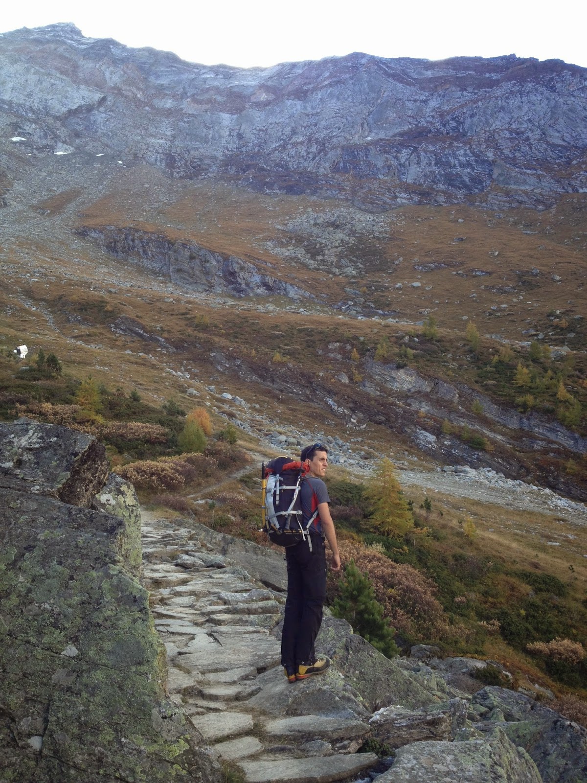
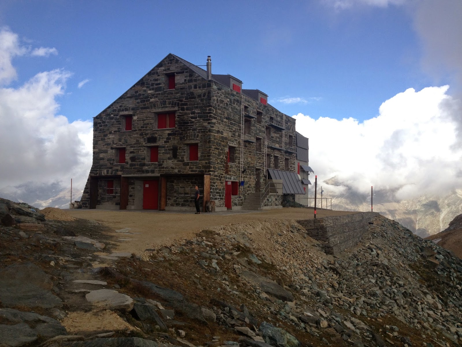
Starting point for the tour is the Britannia hut, which is now closed. Hence we need to take a few extra stuff like gas cooker, stove and food for dinner and breakfast. Also, we decide to walk up to the hut all the way from Saas-Fee, passing via Plattjen...no way we are going to take the cable car up! The walk to the hut is actually rather nice, and the colours of autumn  on the trees and in the air are always nice to look at.

On the way up

The hut

As expected at the hut we find nobody, and the winter room is all for us. Evening goes by with melting lots and lots of snow, cooking and having lots of tea...hoping for the weather to be acceptable in the morning.

...and the reality seems to be worse than the forecast. We leave the hut at 5:00am and we realize that a dusting of new snow came overnight plus it is quite foggy. Well, at least the path to the glacier is well marked so we can get until there. On the glacier we put crampons on, rope up and off we go. We can't see any star in the sky and not even the contour of the mountains against the sky...which means cloud are quite low. Orientation is rather difficult as we only see white (the ice) and black (all the rest). We can only now if we are goign up or down. At some point we start crossing same relatively large crevasse and see a light on the top of the ridge...that's strange, we should not be crossing large crevasses to get to the Hohlaubgrat....and what the hell is that light up there?

Then we realize that light is the Mittelallalin station and that we were going too much to the right on the glacier (having the hut in the back). So we go back a little bit and start traversing to the left. At this point the sky clears up a bit and we can see contours of mountains around so orientation becomes much easier. 

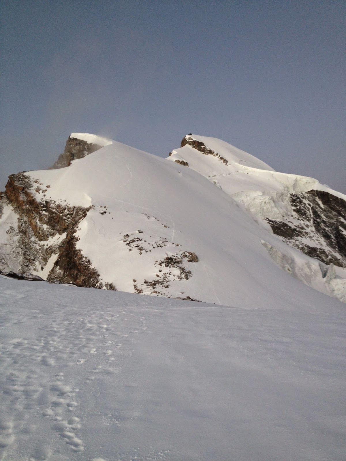
There is not really a defined route to approach the ridge so we just pick up the shortest line (that means steepest...) to make sure we reach the ridge before the cloud come in again. Getting lost on a ridge is much more difficult than on a glacier without tracks. The ridge is longer than we expected and there seem to be a decent amount of new snow which makes things a little bit more tiring. However, going up this ridge presents no technical problem whatsoever, except for a couple of places where it might get a little bit steeper or a bit more risky in case of a fall.

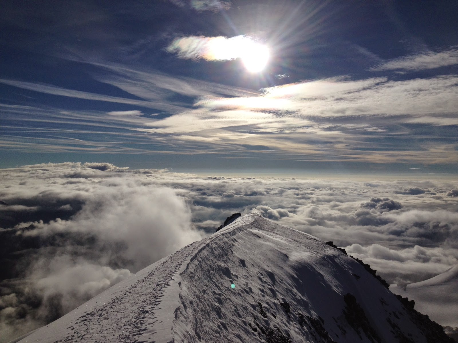
The whole ridge...well almost

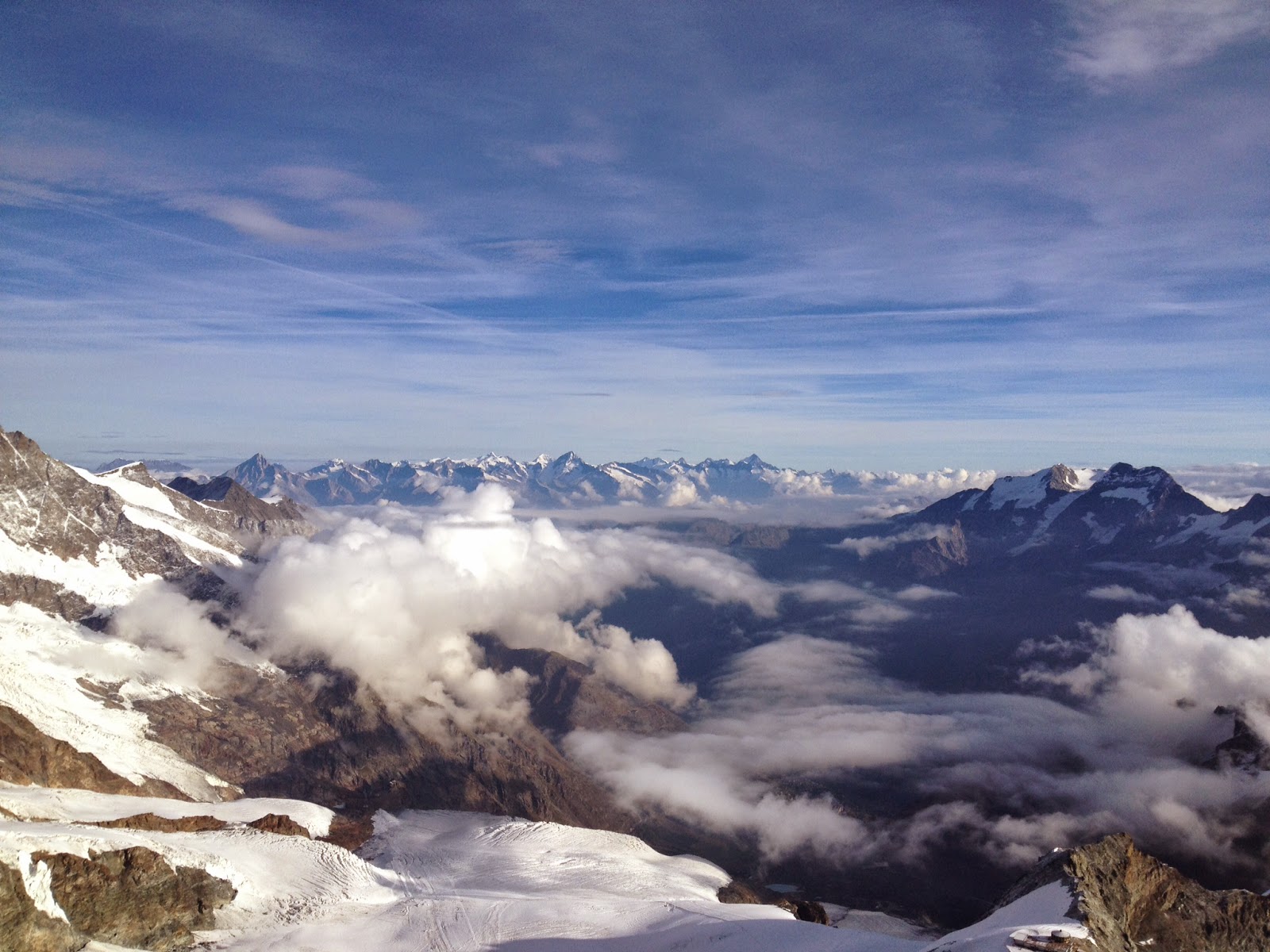
The sun starts to shine on the Mischabel group

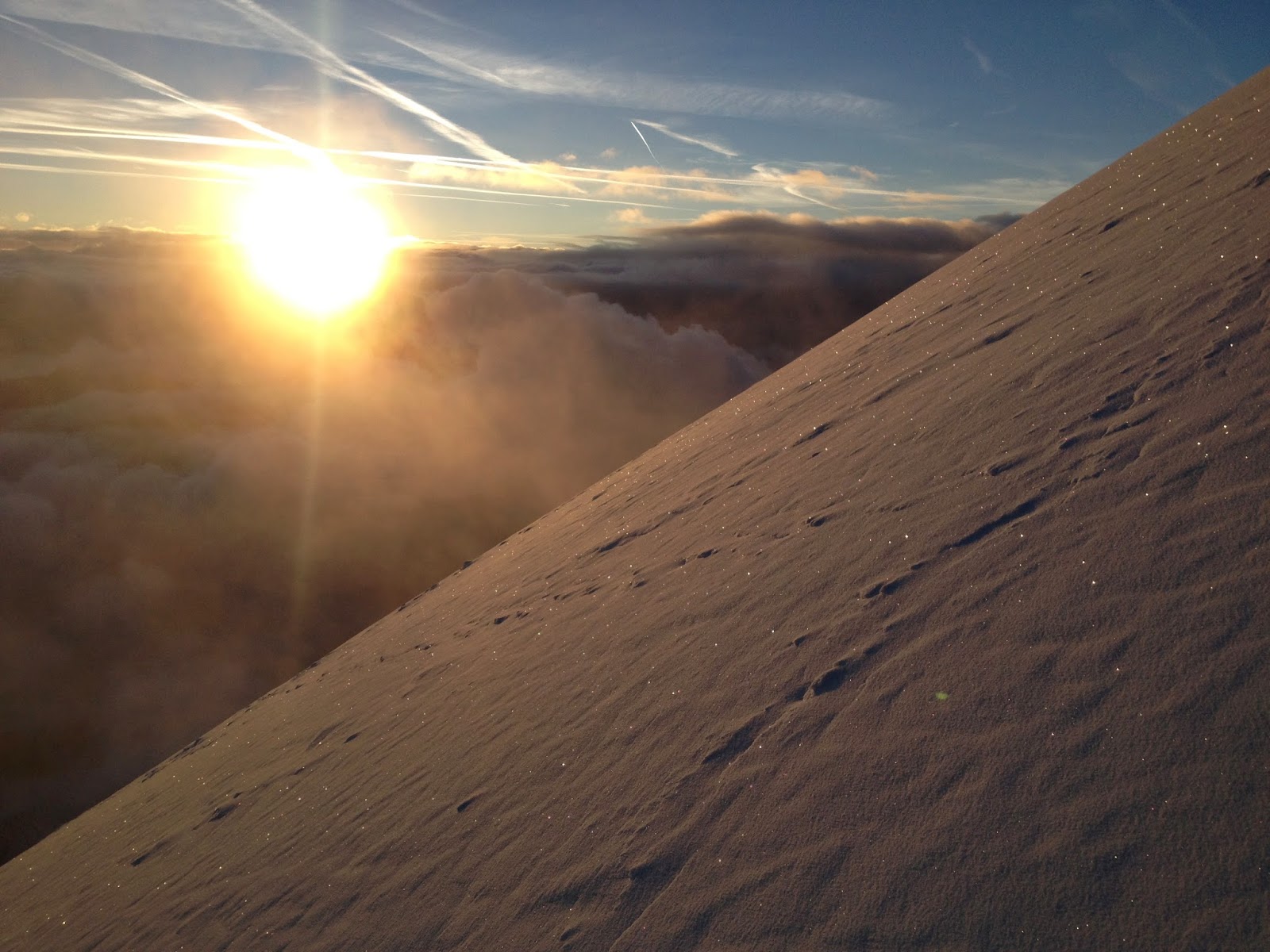
Morning has gold in its mouth

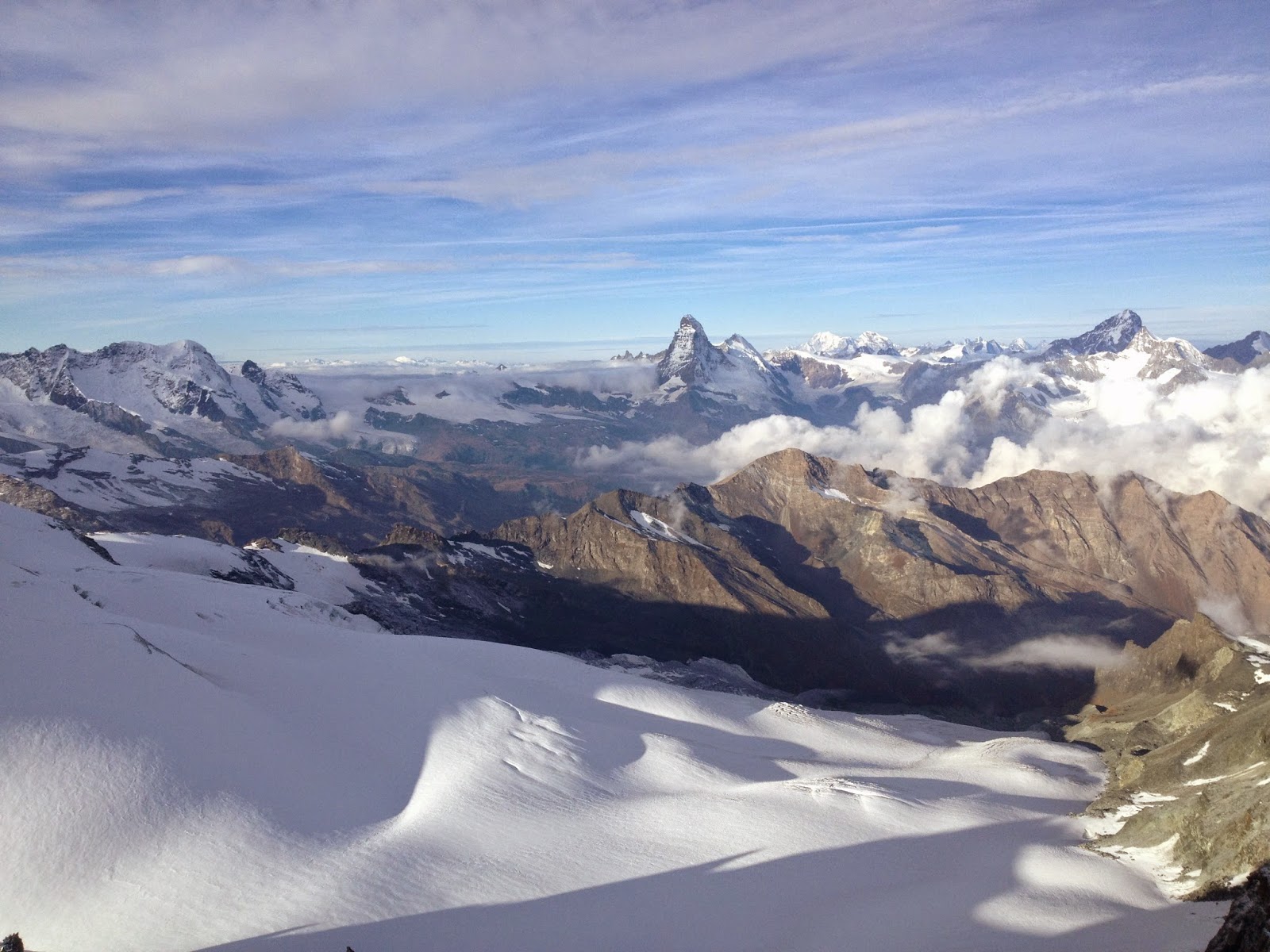
Then finally the last part of the ridge comes where we have to climb a little bit. According to the guidebook it's only 3om of climbing. We decide to move together with running belay. There are in total 5 bolts, well actually two are just long metal rods bent by time and snow. It's a little bit more tricky than I expected because there is ice all over the place and one section of the climb is actually a steep white ice slope. Well at least we get to have some fun :). And at the end of this short climb we easily reach the summit! And this is now the 7th 4000m summit of the season (even though for most of them I still did not write a post...). Views are amazing. We can see the Rimpfischhorn, Strahlhorn, Liskamm, Monte Rosa, Matterhorn...and I could go on for a few another lines. Forecasts said it would have been cloudy since the morning, and in fact there were clouds, but actually very few. And in any case we were higher than them. With absolutely no wind it's a real pleasure to sit up here and contemplate this wonderful view.

Rule number one...

First mountain is the Rimpfischhorn...from now on it's in my to do list!!

View towards north

Looking back on the last part of the ridge

Anyone knows what that spiky thing in the centre is???

In less then one hour we walk down to Mittelallalin station via the normal route, where we see two other groups that are attempting the summit, one of them even with skis...and seeing all the people skiing on the always open Saas-Fee ski resort makes me start thinking about the coming ski-touring season!