Sunday, 5 October 2014

Allalinhorn via the Hohlaubgrat...the season is not over yet...

People have been complaining a lot about this summer...was there one?? But actually the end of August and the whole of September have offered quite good conditions and rather sunny weekends. And even now in October the weather is still good enough to keep going high in the mountains. 

Weather forecast however is not that good for Sunday, and rain is predicted for the afternoon...therefore we try to choose a rather short tour that would be doable also in not perfect conditions. And therefore we choose the Allalinhorn, from the Hohlaubgrat.

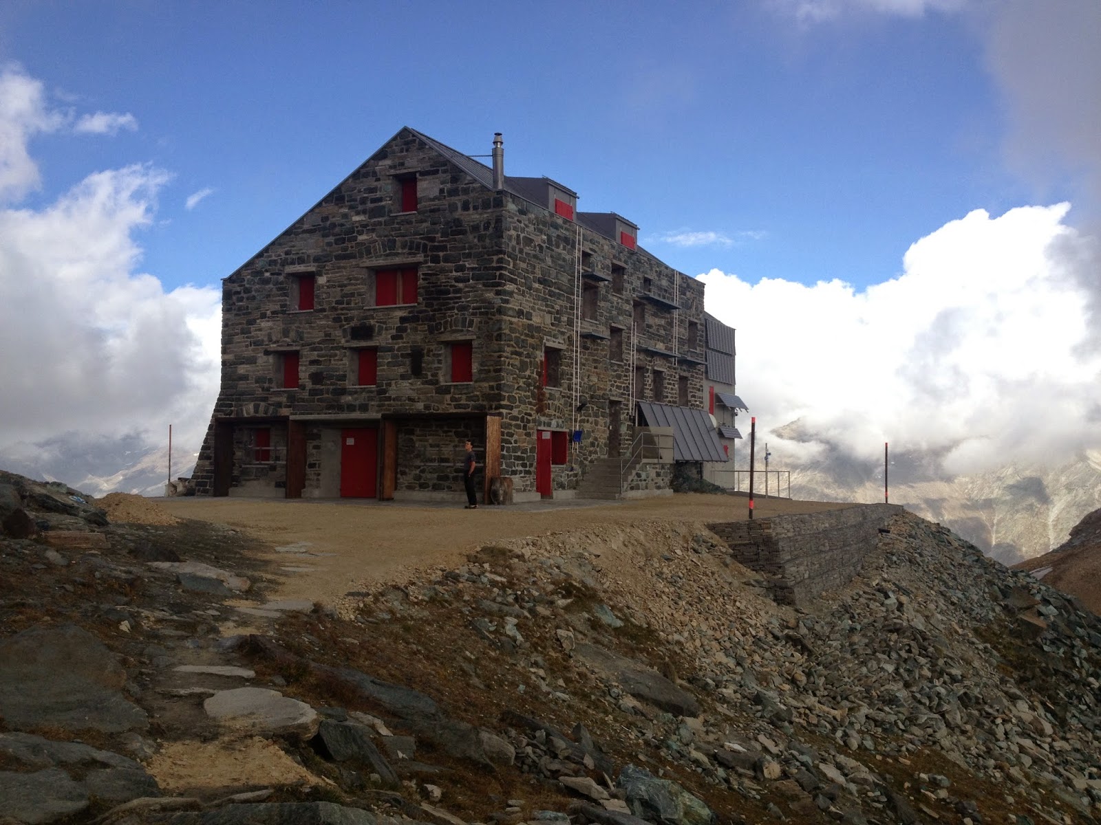
Starting point for the tour is the Britannia hut, which is now closed. Hence we need to take a few extra stuff like gas cooker, stove and food for dinner and breakfast. Also, we decide to walk up to the hut all the way from Saas-Fee, passing via Plattjen...no way we are going to take the cable car up! The walk to the hut is actually rather nice, and the colours of autumn  on the trees and in the air are always nice to look at.
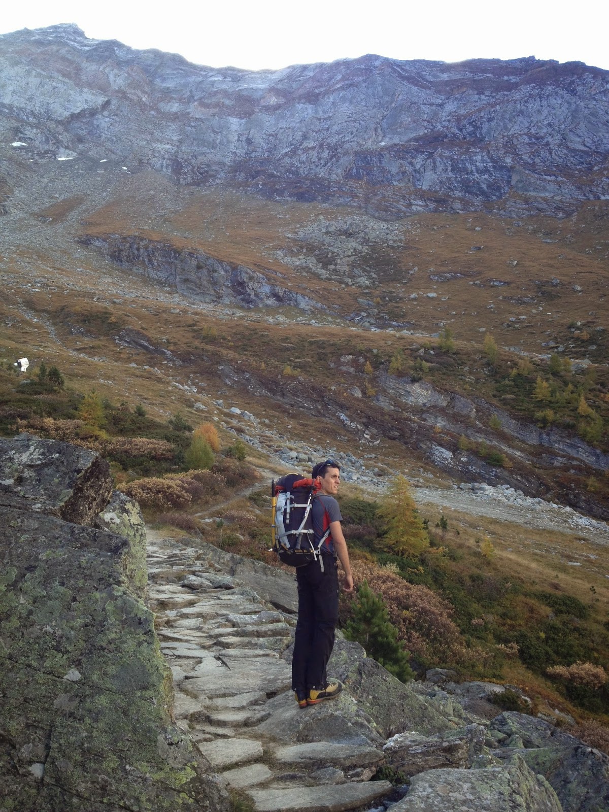
On the way up

The hut

As expected at the hut we find nobody, and the winter room is all for us. Evening goes by with melting lots and lots of snow, cooking and having lots of tea...hoping for the weather to be acceptable in the morning.

...and the reality seems to be worse than the forecast. We leave the hut at 5:00am and we realize that a dusting of new snow came overnight plus it is quite foggy. Well, at least the path to the glacier is well marked so we can get until there. On the glacier we put crampons on, rope up and off we go. We can't see any star in the sky and not even the contour of the mountains against the sky...which means cloud are quite low. Orientation is rather difficult as we only see white (the ice) and black (all the rest). We can only now if we are goign up or down. At some point we start crossing same relatively large crevasse and see a light on the top of the ridge...that's strange, we should not be crossing large crevasses to get to the Hohlaubgrat....and what the hell is that light up there?

Then we realize that light is the Mittelallalin station and that we were going too much to the right on the glacier (having the hut in the back). So we go back a little bit and start traversing to the left. At this point the sky clears up a bit and we can see contours of mountains around so orientation becomes much easier. 

There is not really a defined route to approach the ridge so we just pick up the shortest line (that means steepest...) to make sure we reach the ridge before the cloud come in again. Getting lost on a ridge is much more difficult than on a glacier without tracks. The ridge is longer than we expected and there seem to be a decent amount of new snow which makes things a little bit more tiring. However, going up this ridge presents no technical problem whatsoever, except for a couple of places where it might get a little bit steeper or a bit more risky in case of a fall.
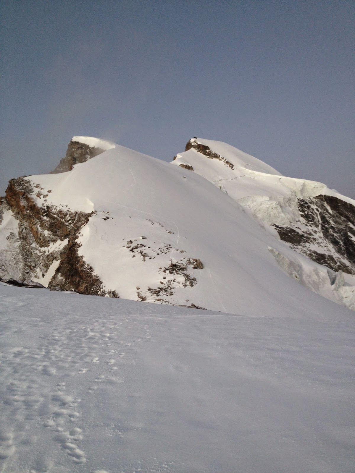
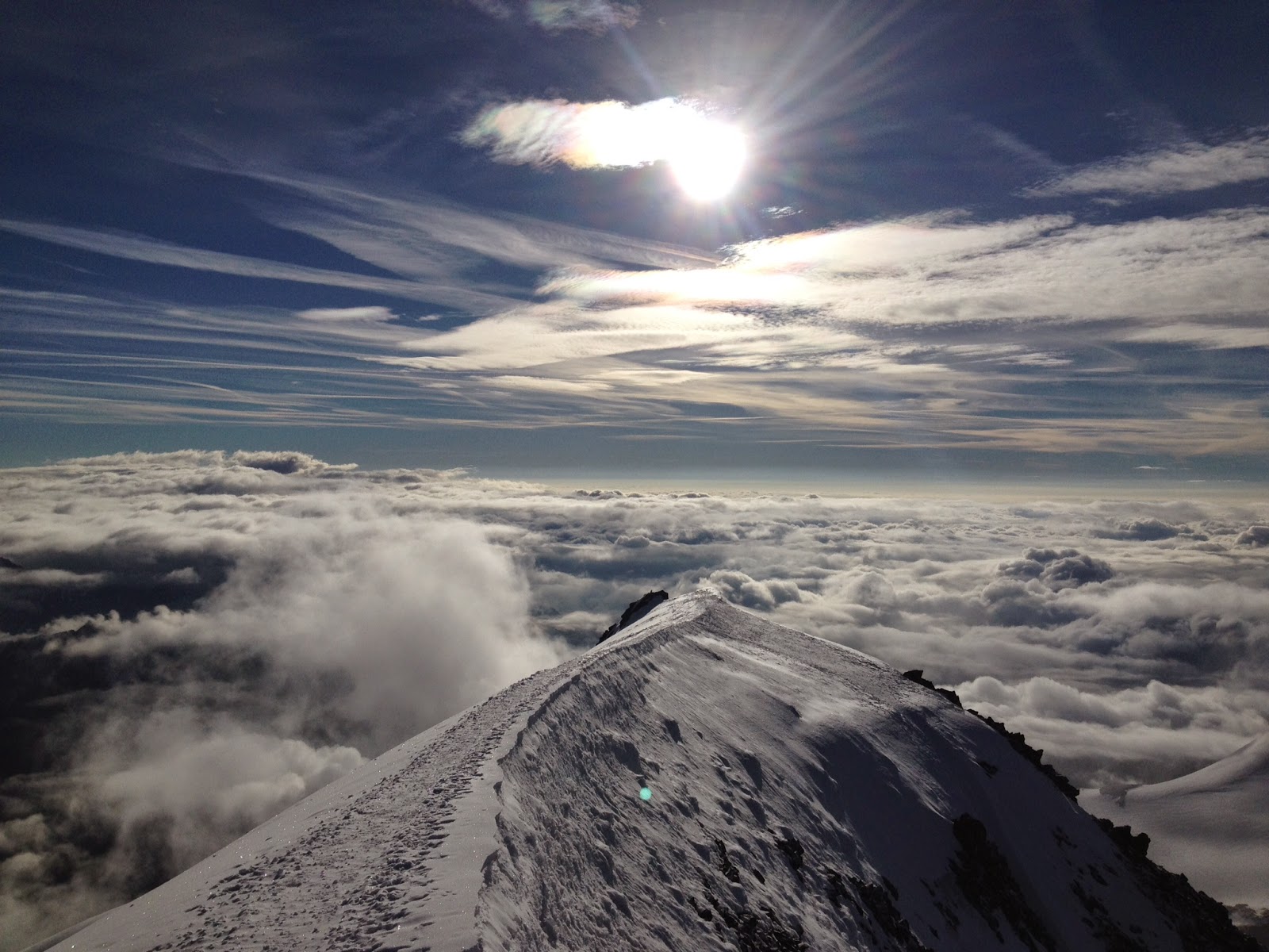
The whole ridge...well almost

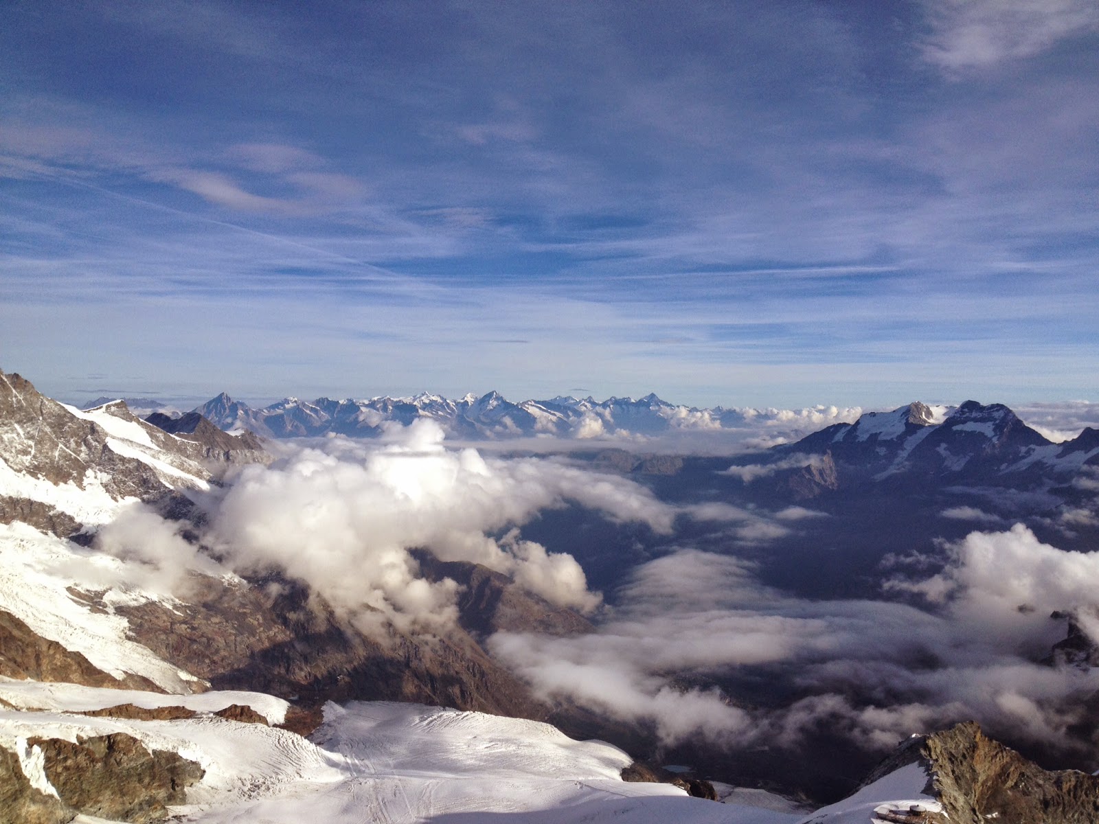
The sun starts to shine on the Mischabel group

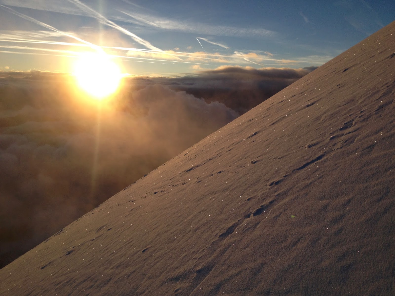
Morning has gold in its mouth

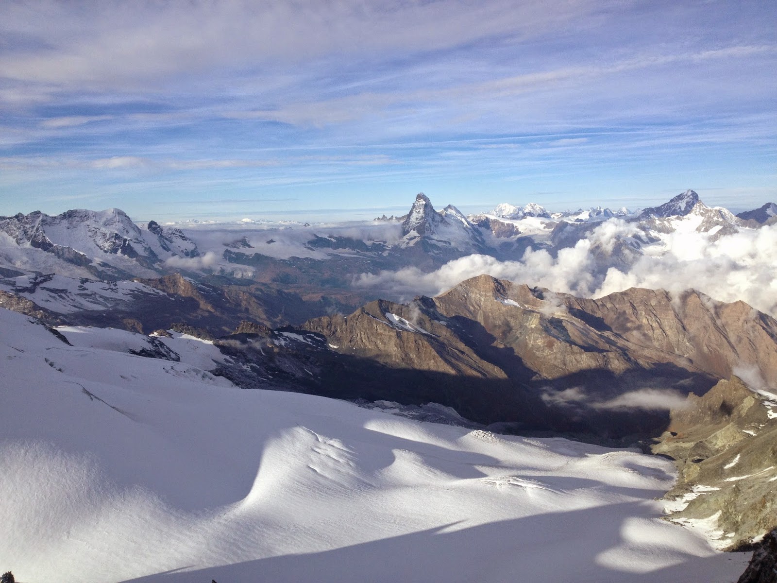
Then finally the last part of the ridge comes where we have to climb a little bit. According to the guidebook it's only 3om of climbing. We decide to move together with running belay. There are in total 5 bolts, well actually two are just long metal rods bent by time and snow. It's a little bit more tricky than I expected because there is ice all over the place and one section of the climb is actually a steep white ice slope. Well at least we get to have some fun :). And at the end of this short climb we easily reach the summit! And this is now the 7th 4000m summit of the season (even though for most of them I still did not write a post...). Views are amazing. We can see the Rimpfischhorn, Strahlhorn, Liskamm, Monte Rosa, Matterhorn...and I could go on for a few another lines. Forecasts said it would have been cloudy since the morning, and in fact there were clouds, but actually very few. And in any case we were higher than them. With absolutely no wind it's a real pleasure to sit up here and contemplate this wonderful view.

Rule number one...

First mountain is the Rimpfischhorn...from now on it's in my to do list!!

View towards north

Looking back on the last part of the ridge

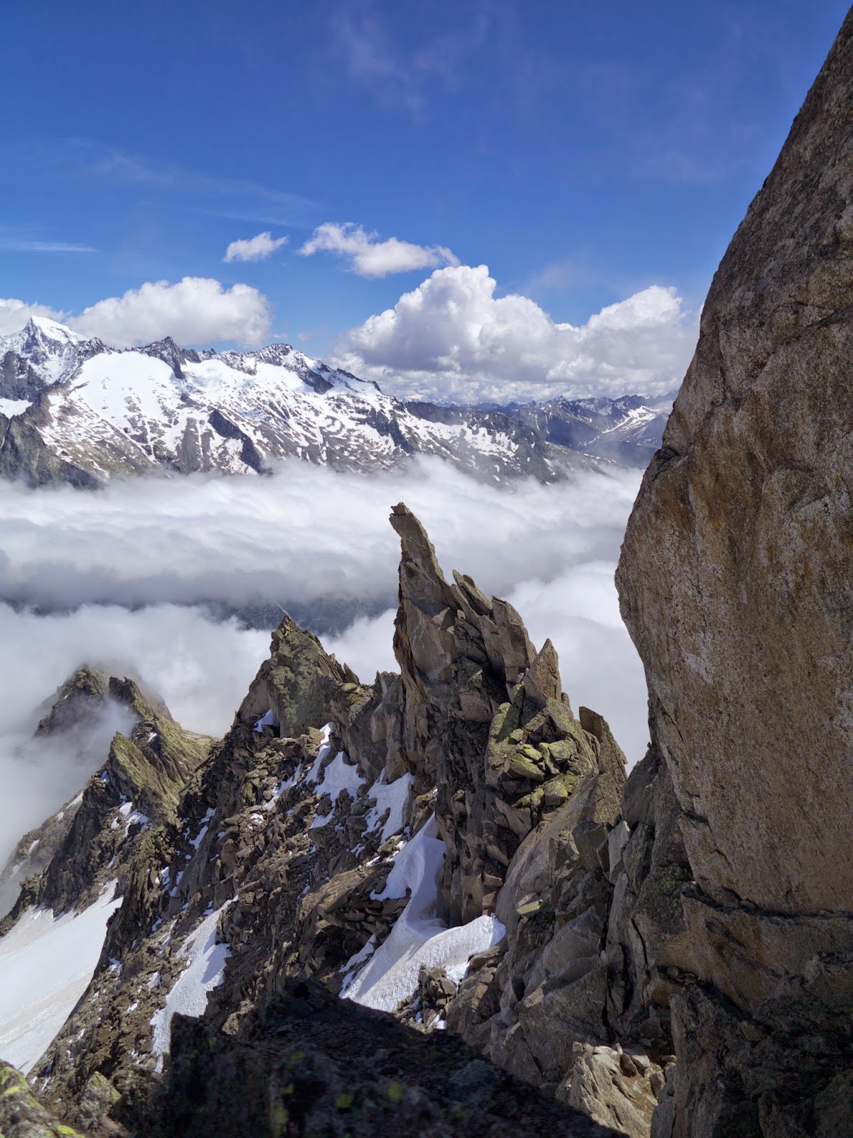
Anyone knows what that spiky thing in the centre is???

In less then one hour we walk down to Mittelallalin station via the normal route, where we see two other groups that are attempting the summit, one of them even with skis...and seeing all the people skiing on the always open Saas-Fee ski resort makes me start thinking about the coming ski-touring season!

Sunday, 14 September 2014

Biancograt al Piz Bernina...the Stairway to Heaven

"Ciao Glauco! Senti la Diavolezza è piena Sabato quindi il Palü non si puo' fare...dove andiamo?"

"Non saprei...tu che dici?"

"Hmm...Biancograt?"

"Si perchè no!"

(Una nota...non ho fatto molte foto ma tanto filmato. Se riesco tiro fuori un paio di istantanee dai vari video e le aggiungo nei prossimi giorni)


Eccola li'...la scala del cielo...

E cosi', un po' per caso, è nata l'idea di affrontare questa stupenda cresta. Ne avevo sentito molto parlare ma sinceramente non avevo mai seriamente accarezzato l'idea di poterla fare...non so nemmeno perchè. Fatto sta che Sabato mattina si prende il treno per Pontresina e si cammina lungo una bellissima valle fino alla capanna Tschierva, in 3 ore esatte. Come buona abitudine si va a fare una ricognizione sul sentiero che parte dalla capanna per arrivare in cresta. Questa volta siamo per oltre due ore in giro perchè vogliamo essere sicuri di non perderci domani mattina presto, al buio.

La nostra sveglia è alle 3:15 ma di notte vedo gente che si prepara per uscire alle 00:15...poi capiro' che sono andati a fare la nord del Piz Roseg...altra bella gita!! Colazione abbastanza in fretta, imbrago, zaino e alle 4:00 in punto si parte dalla capanna. All'inizio sembra una corsa vera e propria. Tutti sanno che nel tratto finale della cresta sarebbe meglio essere i primi per evitare di aspettare e per questo motivo tutti vogliono arrivare li' il prima possibile. Noi decidiamo di lasciarli correre...almeno faranno una bella traccia sulla cresta che a quanto pare è abbastanza coperta di neve.

Dopo un'ora di cammino o poco piu' si arriva alla fine del ghiacciaio e si calzano i ramponi. Di qui si risale sulle roccette subito sulla sinistra dell'ultima piccola serraccata e con pochi zig zag si arriva sulla parte un po' piu' pianeggiante del piccolo ghiacciaio che scende dalla bocchetta Prievlusa. Si segue il nevaio fino al terminale e qui si deve decidere se continuare su dritti per il nevaio oppure se voltare a sinistra per imboccare una ferrata. La decisione dipende dalle condizioni del nevaio. Nel nostro caso le condizioni erano ottime e quindi decidiamo di saltare il terminale in un comodo punto e di risalire il nevaio comodamente. Dopo un altro paio di zig zag si arriva alla bocchetta dove la vista sul ghiacciaio del Morteratsch, Piz Palü e tutto il resto non puo' che lasciare a bocca aperta!

E dopo quasi due ore di cammino, l'avvicinamento è finito e si comincia a fare sul serio. La via comincia sulla cresta rocciosa tenendosi sulla destra. Alcune placchette esposte e sporche di neve sono attrezzate con dei chiodi che facilitano la progressione...o meglio...danno un certo beneficio psicologico. Si aggira la cresta sulla destra e si risale in un piccolo diedrino, poi si traversa ancora fino a risalire una serie di cenge dove si trova solo un chiodo per protezione. Alla fine una serie di cordini, vecchi e piu' nuovi, si possono usare per far sicura a chi segue. Si traversa ancora sulla destra su neve solida e poi si risale ancora una canaletta abbastanza ripida dove, purtroppo, non si riesce ad infilare la benchè minima protezione. Vabbè, per fortuna la neve è "griffig" e quindi si procede con relativa calma. Alla fine di questa canaletta si trova un cordino nuovissimo, che puo' ancora essere usato per fare sicura. Da questo punto in poi si segue direttamente la cresta per piccoli risalti verticali fino ad arrivare in un punto dove un evidente sentiero taglia sul lato sinistro. Si segue il sentiero, comodissimo, fino a portarsi sul fianco della Biancograt. Qui si risale il pendio nevoso tenendosi vicino alle rocce fino ad arrivare all'inizio della cresta vera e propria. All'inizio la cresta è piatta, si aggira un piccolo gendarme sulla sinistra (tracce evidenti) e poi comincia la scalata...e Jimmy Page comincio' a suonare...


Alba dalla bocchetta...


E beh...che altro dire...
Probabilmente abbiamo avuto molta fortuna con le condizioni della via ma la cresta non sembra mai troppo esposta. E se anche in alcuni tratti va giu' dritto su entrambi i lati la neve e la traccia sono talmente buone che non si avverte nessun problema...se non il fatto che (minchia!!) questa cresta sembra non finire mai. Bisogna cambiar lato un po' di volte per evitare cornici e un paio di tratti sono belli "in piedi" a 45°, ma problemi tecnici non ce ne sono. Alla fine del tratto nevoso si arriva sulla cima del Piz Bianco da dove comincia la cresta rocciosa fino in cima al Bernina...e ora finalmente capisco perchè la guida diceva che ora comincia il tratto piu' impegnativo.....................mamma mia!


In cresta...
...ancora in cresta...
Ecco come si presentava il tratto roccioso tra il Piz Bianco e il Bernina...che figata!!

All'inizio ero preoccupato dal fatto che ci potesse essere neve ma poi in realtà mi sono un po' ricreduto. Tutta quella neve ha permesso di percorrere gran parte della cresta rocciosa su una (molto piccola e largamente esposta) traccia su neve. I tempi di percorrenza si sono percio' anche ridotti ma va detto che le possibilità di assicurazione erano anche ridotte, se non in qualche caso. Comunque credo che sarebbe stato piu' diveretente farla tutta libera dalla neve. Ad ogni modo, la cresta procede senza grossi problemi. Andiamo avanti a corda corta e a corda "lunga" a seconda delle possibiltà di assicurazione, superando i vari sali-scendi, tenendosi praticamente tutto il tempo sulla sinistra o al massimo sul filo, fino a giungere alla prima calata. Sosta attrezzata ottimamente! Calo Glauco per risparmiare un po' di tempo e poi mi calo io in doppia. Qui ora arriva il passaggio chiave che in teoria dovrebbe presentare arrampicata di III+. Seguendo cio' che hanno fatto gli altri prima di noi Glauco rimane in sosta a farmi sicura e io vado avanti per una lunghezza intera di corda. Riesco a mettere due fettucce, trovo un chiodo non coperto dalla neve e poi arrivo all'imbocco di un canalino molto ripido che è il gendarme di III+. Ormai ci ho fatto l'abitudine all'esposizione di questa cresta che è sempre abbastanza spinta e procedo senza troppi patemi d'animo. Metto un friend visto che l'ultima fettuccia era un buon dieci metri sotto di me e continuo a salire fino alla sosta. Per fortuna che la neve è veramente "griffig" e la salita procede senza problemi...se non la sensazione nel "back of my mind" che un passo falso potrebbe avere spiacevoli conseguenze. Dalla sosta recupero poi Glauco che viene su come un camoscio...senza pero' rinnuciare a qualche bestemmia di auto incoraggiamento :). Da questo punto si procede un tratto in discesa con aiuto di una catena e poi si risale un paio di metri fino ad una seconda sosta. Ci si cala nuovamente e la cresta rocciosa finisce qui. O meglio...dovrebbe continuare a ormai la neve è tale e tanta che si presenta solo neve...moooolto ripida! 

Si sale questo pendio di neve molto ripido ma molto ben tracciato e poi dopo un tratto di cresta a tratti molto affilata e senza posto per appoggiare la picca si raggiunge la cima!! Incredibile, non ci crediamo. Ci abbiamo impiegato 7 ore dalla capanna (pause incluse) per arrivare fin qui e ora non vorremmo andarcene piu'. La vista è a dir poco spettacolare e la sensazione di soddisfazione come raramente capita di provarne. Non c'è quasi per niente vento, niente nuvole...solo sole e tanta adrenalina! Tuttavia il pensiero di dover scendere lungo la Spalla e poi fino alla stazione del Morteratsch passando per la Fortezza fa subito capolino nelle nostre teste...e quindi decidiamo di darci una mossa. Mangiamo qualcosa e si comincia a scendere.


Vista dalla cima 1

Vista dalla cima 2


Vista dalla cima 3...notare la traccia che taglia sul fianco...la neve cominciava ad ammollarsi e l'abbiamo evitata


La discesa non presenta particolari problemi. Prima si segue la cresta sul filo (anche se una traccia che taglia sul nevaio è molto invitante) e poi ci si cala per due volte (la prima molto corta e la seconda piu' lunga) fino ad arrivare in un tratto pianeggiante di cresta. Si continua per qualche decina di metri e si trova una seconda calata che porta attraverso un canalino direttamente sul nevaio (non troppo ripido) che scende dalla cresta. Si potrebbe anche continuare a seguire la cresta ma visto che le condizioni della neve sono ancora decenti decidiamo di calarci direttamente sul nevaio per uscire il prima possibile dalla cresta. Dopo la calata si affronta il nevaio con qualche zig zag e poi giu' dritto fino al pianoro al di sotto della cresta, da dove si vede anche la capnna Marco e Rosa. 

Ora siamo consapevoli che siamo sopravvissuti al Bernina...ma non alla gita...almeno per il momento. Per la discesa si segue una traccia talmente ben fatta che sembra quasi una autostrada. Si aggirano un paio di serracchi, si saltano un paio di crepacci, si costeggia il Bellavista, si risale anche qualche pendio sotto il sole che picchia manco fosse ferragosto in riva la mare...e finalmente si arriva all'inizio della cresta della Fortezza. 

Inizialmente la discesa è su neve e si viaggia velocissimi. Poi arrivati su roccia ci si rende conto che il tutto viene fatto con una serie di calate. Le calate sono segnate benissimo con marchi gialli molto evidenti. All'inizio di quasi tutte una freccia indica addirittura in che direzione calarsi. Purtroppo non ci si cala sempre dritto ma molto spesso in diagonale ilc eh fa perdere un po' di tempo...ma va bene. Dopo la prima calata con discensore...mi rendo conto che l'attrito è talmente tanto che faccio piu' fatica a calarmi in doppia che non a salire un pendio ripido. Allora si cambia tecnica e invece del discensore uso la tecnica con due moschettoni...e si va alla grande. 


Glauco su una delle tante calate...questa era la piu' bella

Dopo l'ultima calata si segue ancora una traccia fino alla Isla Persa dove finisce il ghiacciaio/nevaio e dopo aver ravanato un pochino tra placche varie si ritrova il sentiero che scende fin giu' sulle morene. Il sentiero è abbastanza ben segnato fino al ghiacciaio. Arrivati sul ghiacciaio lo si segue sulla destra e alla fine ci si porta sulla sinistra seguendo uno scivolo che comodamente riporta sulla "terra ferma". Di qui in una mezzoretta si arriva alla stazione del Morteratsch...dove purtroppo perdiamo l'ultimo treno per soli 15 minuti. Sono le 19:45 e siamo partiti alle 4:00...che GITONE! 

Decidiamo allora di dormire all'ostello di Pontresina...saltando la cena visto la stanchezza e l'orario. In compenso pero', facciamo colazione come se fosse il nostro ultimo pasto, spazzolando piu' e piu' portate di pane, formaggio, müesli e quant'altro.

Che dire, una gita completissima dal punto di vista alpinistico e di estrema soddisfazione. Abbiamo fatto tutto in autonomia e senza problemi stando anche nei tempi della guida. Questa fine estate sta regalando ottime condizioni e bel tempo e io non potrei essere piu' felice di cosi'.

Sunday, 31 August 2014

Weissmiess south ridge, Lagginhorn south ridge, Nadelhorn normal route and a couple more summits

This year I think I have found the definition of holiday...alpine climbing all the time...this time with my brother. The plan is pretty simple. Take a car (we had to rent one) and a tent and set somewhere in the valley next to some nice big mountain waiting for good weather. Despite the weather has been rather bad the whole summer, we got quite lucky with the weather so there was not much sitting around.

Saturday 23.08


First objective is the south ridge of the Weissmiess, a route which I already did two years ago, but it was good to get my brother used to alpine routes. We start in Saas Almagell and walk up all the way to the hut...no chance we were going to take a cable car. The hut is suprisingly full, to the point that two turns have to be organized for dinner. I have to say it is not so much fun to go in the mountains when there are so many people around...but this is an easy and famous route, plus the forecast for Sunday is good. 


View from the hut, Allalinhorn in the middle 


Sunday 24.08 - Weissmiess from the South Ridge - PD+ 4023m


In the morning there are so many people outside the hut like I've never seen before, but at least there is no risk of getting lost. From the hut the route follows the path up to the pass, which I find is a good way to either wake up or warm up before the "real stuff" begins. Up on the pass is rather cold, and the wind is really strong. After traversing a bit to the left we need to put on crampons, harness and rope up. At this point my fingers get really cold because of the wind but best approach is not to think to much about it and start to get going as soon as possible to get warm again. There are people everywhere...and everyone seem to take his/her own track. We decide to zig-zag up the snow field until a "flat" part of the ridge with few rocks. Once up here the wind has gone down a little and due to the physical effort it feels a little bit warmer too. Take off the crampons because not much snow on the ridge and start walking up. Climbing up on the ridge is very easy and fun, maximum II. But because of so many people it's a bit of a mess. People are trying to overtake at any single moment, and even passing in between your legs if you don't pay attention. Also it's not really possible to stop to take a rest without stopping dozens of people. Route finding is not that difficult.

Finally though we reach the snowy part of the ridge and here the ridge gets a bit larger and we can take a good break for putting on crampons. From this point onwards the route is again very easy even though the snowy ridge might be a little bit thin in places...but it depends on what you are used to...if you believe this one is thin than you probably need some more experience :). 
Getting to the top, even if the route is easy, is always a good feeling...especially if it's a 4000m summit. The summit plateau is very busy and the normal route on the west face looks like a pilgrimage of people. But in this case that's probably good news since the path will be really well trodden. In less than one hour we reach the bottom, after having basically run in the lower part to avoid the danger of the overhanging seracs.


At the beginning of the ridge

Somewhere on the ridge

Last part of the snowy ridge

My brother on his first 4000m summit!

On the way down, looking at tomorrow's objective

Looking back at the way down...quite windy up there


Monday 25.08 - Lagginhorn from the South Ridge - AD- 4010m 


After the warm up trip it's time to do something a little bit more "serious". The weather for the day is not looking really awesome, but not that bad...so we give it a try. From the Hohsaas restaurant we start walking directly towards east and then towards north in direction of point 3329. We don't follow the path under the small ridge that goes up to the 3329 point, but instead follow the snow field which is a little bit longer but much easier to find the way. From point 3329 we traverse at an approximately constant height on the  Hohlauggletscher until the Lagginjoch. Once on the ridge the good fun starts. It's still rather cold, but not that bad. In the initial part the climbing is rather easy and the route is not that difficult to find. In some places there are friends stuck into cracks...you never know whether to trust this things, but at least they indicate what could be the right way. 

Things start to get a little bit more tricky on the first steep part of the ridge, where we have to start traversing to the left before going up. Once again, bunches of rope loops are a good indication that we are on the correct route. After the first steep part of the ridge we reach the point where one of the west ridges is joining the south one. Here things start to get a little but more tricky because the amount of snow is considerable. Crampons have to get back on our boots and they will stay there for the rest of the route. 
Finding the route is never difficult, but good care is recommended in some places due to ice and snow. Weather starts also to deteriorate and could close in...not that fun anymore I must say. The route however is always quite easy to find as it's always on the ridge. Towards the end there is one section where the ridge goes down again towards a small saddle. Here there is one bolt at the top of a 3a slab from which abseiling is possible. This is located on the right side of the ridge (looking towards the top). I preferred to lower the other two and then downclimb the slab. A fall would have probably been fatal because is more than 20m downclimimbing...but it felt pretty safe. Once on the saddle you have to shortly downclimb once again (always on the right hand side) and then traverse using some fixed ropes until the other side of the saddle. From here onwards the ridge goes up rather steeply and then almost flat until the end. Before the end it is advisable to go to the left before climbing up. 
View from the summit should be amazing as always...but we are wrapped inside the clouds and apart from the summit cross there is little else to see.
Descent is from the normal route which follows the west ridge. The rather high amount of snow makes the descent a bit easier because it's all tracked quite well. Once back on the rocks the route should be really easy with some short sections of downclimbing. Unfortunately it started raining on the way down and this made all the rocks incredibly slippery. So also the way down takes longer than expected until we finally reach the snowfield at the bottom of the west face. From here onwards we traverse on the Lagginhorngletcher aiming for the point 3123 and the marked footpath that leads directly yo Hohsaas. An incredibly long day, in quite bad conditions...but still a good day out.


On the first part of the ridge

Still having fun

Somewhere higher...cold starts to kick in

Hang on...is this summer or winter??


Wednesday 27.08 - Hike up to Rothornhut

The plan for 27 and 28 was originally to try the Obergabelhorn or the Zinalrothorn. But we changed our mind and decided to go only for the Wellenkuppe, which is still above 4000m, but a much shorter climb compared to the other two. The hike up to the Rothorn hut starts in Zermatt, from the city centre. It's probably one of the longest hut approach that I have ever done, but quite nice indeed. There are two restaurants on the way, and in the middle the path gets much more gentle and almost flat, allowing for some "rest". However, the last part up the moraine is really killing the legs and the feet...but hey, we are not here to have fun, are we??


Hotel Trft, more or less half way up the hut

Well...this is a view


Thursday 28.08 - Ober and Unter Aeschhorn

Weather forecast for today are very good but once outside the hut after breakfast it's snowing and we even see some thunders in the distance. This is very similar to what I saw last summer before attempting the Matterhorn, and that time I had to climb back because of bad weather on the route. Not willing to make the same mistake twice I decide not to trust the weather forecast and to aim for a different objective, the Aeschhorn. Those are two little summits not that far from the hut and most of the route is on a rather flat glacier. Therefore a retreat in case of bad weather would be quite easy. We first aim for point 3550 on the saddle between the two Aeschhorn summit, then to the Ober first. This route allows for some interesting climb at the beginning and then it's all scrambling on relatively easy terrain. We climb back along the ridge and then follow the snow ridge to the summit of the Unter. At this point during the day the weather has prefectly cleared and the view is simply magnificent...absolutely stunning. 

What to say, the weather forecast were correct and we "wasted" a good chance for another 4000m summit. But nevertheless it was a nice day with quite relaxed climbing and wonderful views.


View from the Ober Aeschhorn, just before the clouds vanish

Ridge to the Unter Aeschhorn

Poetic?

The ridge towards the Unter Aeschhorn

Stunning!


Saturday 30.08 - Hike up to the Mischable hut

The plan for the next two days is to attempt the Nadelhorn from the normal route. So the starting point is the Mischable hut. I thought the hike up to the Rothorn hut was the tough one...but this one...is a real killer. From the centre of Saas Fee we follow the sign posts and we reach the hut in a rather fast time, 3h 15m including breaks. But this foot path is really a tough one. Steep, steep and again steep from the beginning until the end with never a single break. And towards the end there is even a sort of via ferrata that makes things a bit more interesting. Once at the hut we feel like having reached another 4000m summit, so tough it was to walk up. Weather is not looking very good. Clouds surround everything and it's not looking like it will get any better...let's see what happens in the morning.


Sunday 31.08 - Nadelhorn normal route - PD+ 4327m

In the morning the weather is in fact not that good, and very cold and windy. Well who cares, until the beginning of the ridge the route is really easy to find and does not present that many problems so we decide to start and see what happens during the day. The route follows the ridge until point 3620 and then veers right on the glacier. Once on the glacier the route keeps a rather constant height until under the slope that leads up to the Windjoch. This slope can be easily overcome by two or three zig-zags. As the guidebook says, the windjoch is really wind and here it feels really cold. But the weather still seems quite good and we decide to keep on going. From this point onwards the route simply follows the ridge until the summit, and getting lost is basically impossible, aslo because it's all quite tracked. the conditions however look like winter rather than end of summer.
Until the very last bit of the ridge there are almost no rocks as it's all covered in snow. And even on the last section where we expected to climb a little bit on rocks it's all still covered in snow. It's not so hard this snow and it does not feel very safe, especially because there are many people on the same route and if someone slips it can be quite critical. However, slowly progressing on very short and tight rope we finally manage to reach the last short and almost flat section of the ridge. And there we are, on the summit of the third 4000m summit in this week. Views are again magnificent even though mostly covered in clouds. The Dom looks absolutely immense seen from here. 
All the excitement and the adrenaline are not enough to cope with the very cold temperatures. And seeing all the people still aiming for the summit along the normal route we decide to quickly turn back down and get to safety. Downclimbing the first sections of the ridge on steep soft snow is not that much fun, especially because of too many people going upo and down at the same time. But in a short time we are again on the glacier and then on the ridge back to the hut.


On the top!!

The magnificent Dom

Looking back at the ridge

 The Lenzspitze north face


This was an incredible week. A total of 3 4000m summits plus two little ones in between. I lost approximately 5 kg in this week even though we kept eating a lot...and this says a lot on the level of effort and how cold it was. The original plan was to attempt the Matterhorn and also other more technical routes, but technical skills of someone and bad conditions on the mountains forces us to change the plans. Nevertheless, fun, excitement, adreanaline and magnificent views were all the ingredients of this good 9 days in the Alps.

Saturday, 19 July 2014

6 Giorni nell'Oberland per il Corso Capi Gita CAS 2014

Quest'anno il corso capi gita del CAS si svolge in italiano, e quindi non ci si lascia sfuggire l'occasione. Praticamente tutti i partecipanti tranne uno sono del CAS Ticino. Il corso si svolge nell'Oberland Bernese nelle capanne Bächlitalhütte e Lauteraarhütte, tre giorni nella prima e tre nella seconda. Partenza è prevista per la Domenica 13 Luglio dal Grimsel Hospiz. Qui di seguito il racconto di questa bellissima esperienza. 

GIORNO I


La meteo non è poi il massimo visto che Domenica piove praticamente in tutta la Svizzera, ma le previsioni danno un netto miglioramento a partire da Martedi'. L'avvicinamento alla Bächlitalhütte avviene sotto una pioggia leggera intermittente, che non dà fastidio piu' di tanto. Arrivati in capanna non si puo' far molto se non aspettare che smetta di piovere per poi andare fuori sotto una parete leggermente strapiombante e provare tutti i nodi, giusto per essere sicuri che tutti siano sullo stesso livello almeno per queste cose. Un commento alla Bächlitalhütte è d'obbligo. Una capanna veramente bella e confortevole. Avendo a disposizione acqua a volontà e molto probabilmente anche una bella turbina la corrente elettrica non manca quindi la capanna è molto ben riscaldata e le luci accese non rappresentano un problema. Inoltre, sembra essere anche un ottimo punto di partenza per gite col le pelli di foca, e visto che l'avvicinamento dura solo un paio d'orette...penso che rimarrà nella mia lista delle cose da fare per questo inverno. 


GIORNO II

  Il secondo giorno la meteo è ancora un po' incerta e allora invece di andare su per le varie vie d'arrampicata in zona decidiamo di andare a fare un po' di pratica di ancoraggi su neve e ghiaccio, recupero da crepaccio e scivolate su neve...tutte cose che anche in condizioni di tempo non proprio perfette possono sempre essere fatte senza grossi problemi. Alla fine la giornata si rivela molto piena e le due guide non mancano di rivelare un paio di trucchi e astuzie per risparmiare moschettoni. Ad esempio il "barcaiolo infilato" e lo strozzare la fettuccia direttamente sotto la testa della vite da ghiaccio prima di darle gli ultimi due giri. La meteo rimane abbastanza clemente e comincia a piovere esattamente quando rientriamo in capanna...e cominciamo una delle poche sedute di teoria, questa volta su pianificazione di una gita.


GIORNO III

Il terzo giorno si comincia a fare sul serio...veniamo divisi in due gruppi che poi rimarranno sempre gli stessi per motivi di convenienza...5 con una guida (Florian) e 5 con l'altra guida (Patou). Io sono nel gruppo con Florian e la meta di oggi è l'Alplistock. Dalle topografie che abbiamo visto in capanna la sera prima ci aspetta proprio una bella cresta, con tiri fino al IV grado. L'avvicinamento è anche interessante in quanto si deve percorrere un sentierino non sempre evidente e alla fine anche un mezzo canale ancora innevato. All'arrivo in cresta ci si incorda, io sono con Florian, e si parte.


Canalino per accesso in cresta

I primi metri fino alla cima Ovest non presentano grosse difficoltà, se non forse un piccolo traverso. Tuttavia sono presenti alcuni chiodi che facilitano il passaggio. Dalla cima Ovest alla cima Est invece...ci sarà di che divertirsi. All'inizio si presenza un bel gendarme con un tiro di 4a in placca per scavalcarlo. Ci sono anche tre chiodi e arrivati su in cima si puo' facilmente integrare con nuts o fettucce. Alla fine le altre due cordate aggireranno il gendarme da entrambi i lati, e in effetti la discesa dal gendarme mi porta esattamente dove gli altri finiscono il traverso. Comunque un gran bel passaggio di arrampicata con appigli sempre presenti, anche se non proprio grandi...soprattutto per i piedi. Incredibile quanto tengono gli scarponi su delle tacchette millimetriche. Il tiro (a dire il vero sono anche piu' di un tiro) chiave si trova a partire dal secondo grande gendarme che va obbligatoriamente salito. Anche questa volta sono il primo a passarci su e non nascondo di essermi un po' preoccupato per la strana assenza di chiodi...in realtà una volta cominciato a scalare si trova un secondo chiodo in mezzo ai due visibili dal basso che rende le cose psicologicamente piu' facili. Dopo questo gendarme c'è un traverso in discesa che definire esposto è poco. Una bellissima serie di traversi su placca che tengono molto alta la tensione, ma che tutti in un modo o nell'altro riescono a fare. Alla fine di questo traverso ci sarà anche una bella discesa a corda doppia da una sosta non proprio in posizione comodissima. A questo punto il percorso sembra staccarsi dalla cresta per procedere lungo il lato Nord. Non so se per fortuna o per sfortuna. Poco piu' avanti lungo la cresta si trova un gendarme spaventosamente bello, letteralmente un dito inquisitorio che sfida chiunque a scalarlo. Florian prova a rientrare in cresta prima del gendarme ma la cosa non sembra possibile. Il traverso a lato della cresta non è proprio piacevole in quanto la roccia non è un granchè...come sempre quando non in cresta...e anche perchè si trova ancora neve da questo lato. Sarà un po' il motto di Florian di restare sempre in cresta!! Alla fine pero' il rientro in cresta è possibile e l'aver trovato ancora dei chiodi ci dice che siamo ancora una volta sulla giusta strada. Qualche altro passaggio in cresta, ancora esposto ma piu' facile di prima, ci porta alla fine di questa bellissima traversata. Tuttavia la discesa non è ancora finita in quanto si dovrà fare ancora una calata, questa volta da 50m, e poi cercare la strada del ritorno in un complicato sistema di cenge. In realtà non era complicato...è solo che abbiamo avuto problemi noi a trovare la strada :)...ma alla fine siamo qui per imparare anche queste cose.


E qui dove si passa??


Bellissimo gendarme...obbligatorio


Minchia se è esposto

Quel dito inquisitorio mette un po' di paura...noi non lo saliremo

Come avrete notato la descrizione della via non è nulla di che...ma ci rinuncio a farne una come si deve perchè nonostante avessimo letto due guide diverse e consultate altrettante topografie un bel po' di cose erano "inaspettate" e altre non sono state proprio trovate. Fatto sta, che è un giro che consiglio a tutti!


GIORNO IV


Il giorno seguente il programma prevede lo spostamento alla Lauteraarhütte. Inizialmente si pensava di fare la traversata del Diamantstock prima di andare...il che avrebbe significato un giornatone di quelli che non si scordano. La motivazione che fa cambiare a tutti idea è che, a quanto pare, un gruppo di ben 14 Inglesi ha intenzione di fare la traversata il giorno dopo...e quindi vorrebbe dire trovare belle code nei passaggi chiave, con tanto di biglietto e lista d'attesa con al panificio. Per quanto mi riguarda si sarebbe potuti partire un'ora prima degli altri per evitare tutto cio'...ma l'idea di alzarsi alle 3:00 e di essere in giro per almeno 12 ore non va proprio a genio...per cui si opta per una "semplice" traversata passando dalla Fellenberglücke. La salita lungo in ghiacciaio avviene senza grossi problemi, anche se bisogna fare un po' di attenzione ad evitare qualche crepaccio. Il problema serio è che non tira un filo di vento e il caldo, anche se è ancora relativamente presto, si fa sentire non poco. Per la salita in bocchetta sono ben evidenti delle tracce di pittura bianca sulle rocce. Arrivati su in cima alla bocchetta la vista sull'Oberland Bernese è semplicemente grandiosa! Ma Florian non si perde troppo in chiacchiere e si comincia subito a scendere. Prima si traversa verso sinistra (avendo la bocchetta alle spalle) su una specie di sentiero attrezzato e poi si scende lungo un canalino non troppo ripido...ma dove le rocce vengono giu' come la pioggia a Novembre. Dopo il canalino si traversa ancora sulla sinistra fino a riportarsi sul nevaio. Ancora verso sinistra si traversa fino alla fine del nevaio incontrando una serie di ometti che permettono di trovare un piccolo sentiero. Dal sentiero si sorpassa il salto di roccia sul quale si trova il nevaio e poi si traversa questa volta verso destra (sempre avendo alle spalle la bocchetta) cercando di mantenersi piu' o meno ad una quota costante. Raggiunta poi la base della cresta della cresta del Bächlistock si trovano ancora ometti che indicano un sentiero piu' o meno evidente. Il sentiero scende fino a traversare il Triftbach e poi diventa molto evidente fino in capanna. Insomma niente di troppo tecnico ma una gita che richiede decenti capacità di orientamento e di lettura  della carta.

Arrivati in capanna ci si dedica ad un po' di relax e perchè no...anche ad un paio di corte vie d'arrampicata appena fuori dalla capanna.


Ancora una meteo da cartolina


Cosa c'è di meglio per rilassarsi in capanna che un po' di arrampicata?


GIORNO V


Oggi l'obiettivo non è fare roba troppo tecnica, ma piu' che altro lungo e con itinerario non proprio ovvio. Il nome di questa cima non l'imparero' mai...Scheuchzerhorn. Si parte poco dopo le 4:30, quindi per la prima volta dall'inizio della settimana cone le pile frontali accese. E questa è cosa molto buona. La cosa brutta è che si comincia la gita andando verso il basso...eh si, perchè bisogna scendere fin sul ghiacciaio Unteraargletscher tramite una serie che sembra quasi infinita di scale metalliche. Arrivati sul ghiacciaio si punta al fiume che scende dal ghiacciaio proprio sotto la nostra cima. All'inizio, avendo alle spalle la capanna, ci si tiene sulla sinistra e poi intorno ai 2400m, appena il fiume si allarga un po', lo si attraversa. Da questo punto si trova anche una traccia di sentiero con qualche ometto che punta alle piccole cascate piu' in fondo nella valletta. Qui si volge verso la destra (sempre avendo la capanna alle spalle) e si sale per la via piu' facile...che dipende dalle condizioni. Nel nostro caso c'era ancora della neve e quindi seguirla rendeva la salita abbastanza confortevole. In assenza di neve trovare una via attraverso le placchette puo' non essere evidente, ma comunque non difficile. Una volta raggiunto il ghiaccio ci si porta sotto al cresta che scende dalla cima e si risale fino ad incontrare un evidente canale abbastanza ripido. Se ancora nelle giuste condizioni è possibile usare questo canale per risalire in cresta. Nel nostro caso le condizioni erano buone se non fosse per l'uscita dove una cornice di neve ha presentato qualche piccolo problema. In mancanza delle giuste condizioni si puo' seguire la via descritta per la discesa. Raggiunta la cresta il panorama diventa molto piu' bello e finalmente si esce da quella conca che cominciava ad assumere le sembianze di un forno non ventilato. Il percorso di qui in poi non presenta difficoltà in termini di orientamento, ma il tratto finale di cresta potrebbe risultare un po' stretto se non si è abituati. Per fortuna la neve tiene abbastanza bene quasi ovunque ma ogni tanto un bell'affondo fino al ginocchio non fa male...La discesa la si fà dapprima scendendo direttamente verso sud e poi voltando ad est. Una calata su di un sasso è necessaria per oltrepassare un saltino di neve. Percorrendo il ghiacciaio si arriva alla bocchetta dello Scheuchzerjoch e di li' si segue ancora il ghiacciao, poi nevaio, fino a ritrovare le tracce della salita. Tutto procede bene in discesa se non fosse per le scalette (tante...forse troppe) che dopo una lunga giornata vanno ancora risalite prima di poter tornare in capanna.


Paesaggi stupendi

Lauteraarhütte

GIORNO VI


Ultimo giorno, e si torna a fare qualcosa di tecnico in cresta, anche se sappiamo fin da principio che questa cresta non sarà tanto difficile come quella che abbiamo affrontato sull' Alplistock. Il programma è di fare l'Hinderstock dalla cresta Ovest, anche non si sa se arriveremo fino alla cima centrale a 3307 o ci fermeremo prima su quella a 3306 (io sono ingegnere per cui per me quelle due cime sono alte uguali...). Si procede dapprima sul sentiero che sale su verso il Rothoren e poi, raggiunta la base della parete si volta a sinistra seguendo la traccia di sentiero (anche ben marcata). A causa dell'abbondante innevamento cominciamo a trovare neve fin da subito non appena si super la parete del Rothoren. All'inizio si scavano scalini con la picca e poi ci si rende conto che i ramponi sarebbero comunque serviti dopo...e allora si calzano direttamente. L'obiettivo ora è la cresta davanti a noi. La vecchia via di salita andava un po' sulla destra fino andare a prendere il punto piu' basso della cresta stessa. Tuttavia a causa di un crollo questa via non è piu' frequentabile e si opta per la variante che passa per la Hubellücke. Il terreno man mano che ci si avvicina comincia a farsi piu' ripido e incordarsi sarebbe potuta essere una buona idea (almeno cosi' ci dirà Florian piu' tardi). L'ultimo tratto su roccia è aiutato da una scaletta, anzi due. Alla fine della seconda pero' la cosa è un po' sketchy come direbbero gli inglesi in quanto tutto coperto di neve che non tiene un granchè. Per fortuna Florian ci precede e ci assicura tutti dall'alto. Da qui, dopo aver costeggiato la cresta sulla neve ed aver attraversato un terminale, si ricomincia l'arrampicata in cresta. Mai troppo difficile ma una paio di passaggini in aderenza ci sono e ci si diverte. Trovare la via anche non è un problema...basta rimanere in cresta. Arrivati in cima ci si gode l'ultimo panorama dall'alto di questa bellissima settimana, niente vento, niente nuvole ma solo tanto sole. Poi si ridiscende seguendo la cresta del Rothoren, attraversando un molto poco stabile pendio nevoso visto l'orario e la forza del sole, fino a raggiungere un punto di calata da 50m che riporta sulla conca nevosa. Anche questa molto poco stabile e con piccolissime valanghe bagnate che vengono giu' ad ogni passo...ma per fortuna la pendenza non è tanta e la cosa non è pericolosa. Arrivati in territorio sicuro, ovvero su di un grosso sasso, ci si riorganizza, si tolgono imbrago, ramponi e quant'altro e si torna in capanna.


Scaletta

Il terminale

La cresta a tratti è molto facile


Sempre ottima arrampicata

Qui ci si gode un ottimo aperitivo a base di vino bianco, prosciutto e formaggio per festeggiare il fatto che siamo tutti da ora in poi capigita ufficiali del CAS!!


Complimenti a tutti i neo-capigita!!